



Heavy snow showers on the North York Moors had forced the closure once again of the A169 from Blue Bank to beyond Saltergate Bank.
The road has since reopened but further snow showers are forecast.
The Met Office have one weather warning for snow in place until 11:00am today with up to 5cm of snow possible on high ground and 2cm of snow possible away from the immediate coastline.
A second weather warning is in place for the Yorkshire Coast from 5:00pm today until 11:00am tomorrow and predicts another 5cm for the high ground:
Showers, wintry in places, will continue to affect northern and eastern Scotland and eastern England through Thursday evening and overnight into Friday morning. These are likely to fall onto frozen surfaces allowing icy patches to form. From approximately the Humber northwards, showers will often fall as snow inland, with up to 2cm possible in places, and perhaps as much as 5 cm over high ground. Further south, any snow accumulations are more likely to be restricted to higher ground.
This Is The Coast has regular updates on air. LIsten on DAB, the app, online and ask your smart speaker to "launch This Is The Coast".
You can call 01723 336444 (option 2) with updates.

 Nine Minutes from Glory: Heartbreak for Boro as Macclesfield Snatch Late Replay
 East Riding Mum Ventures Change To System After Second Term Time Holiday Fine
 North Yorkshire Faces Major Challenge to Prepare Local Plan in 30 Months
 Pre-Halloween Spooktacular Will Raise Vital Funds For Scarborough Hospice
 Did You See East Riding Bridge Colission?
 Scarborough Foster Couple To Run New Support Hub For Vulnerable Children
 Bridlington Town Back To Winning Ways
 Yorkshire Coast Rugby Round Up
 Pickering Town Back Into Top Ten With Victory
 Record Numbers Of Young People Explore Future Careers At East Yorkshire Apprenticeship Expo
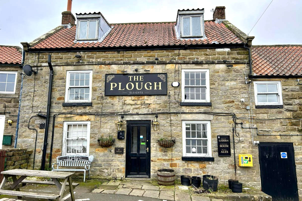 Historic Sleights Pub Set To Reopen Under New Local Ownership
 Patients Could Opt Out of Care Over NHS Data Platform Fears, Councillors Warned









Comments
Add a comment