

The Met Office Weather Warning is in force from midnight tomorrow night, until midday on Wednesday.
Snow is likely to settle on high ground, but amounts will be small.
At lower levels it's more likely to be sleet or wet snow.
Afterwards, surfaces are expected to become icey.
Here's the Met Office Weather Warning:
A band of sleet and snow is likely to continue to push across this area and towards the southeast during the first part of Wednesday. This could bring 1-2 cm of snow over the hills in the region, with a small chance of around 5 cm falling in one or two upland areas.
At lower elevations sleet or very wet snow is likely, but no settling of snow is expected.
As this band of sleet and snow clears to the southeast, temperatures will fall below freezing leading to widespread ice developing.
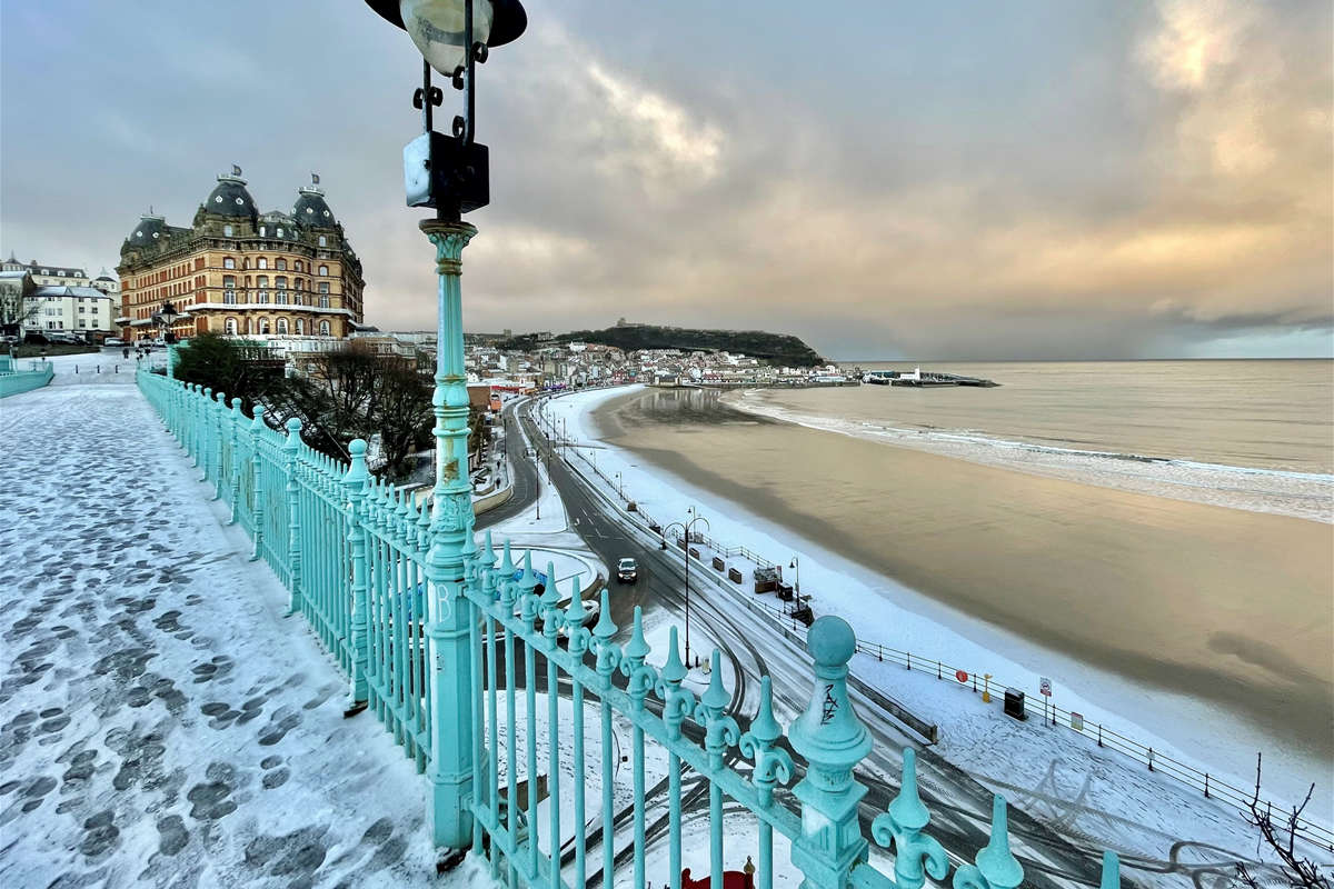
Snow showers arrived on the Yorkshire Coast overnight with this the scene on Scarborough's South Cliff this morning:

 New Owner Sought For Scarborough's Alpamare Water Park
 No Redundancies Expected As Bridlington Care Unit Staff To Be Redeployed Across Local NHS
 North Yorkshire Councillors Urge Mayor To Reconsider Highway Funding Reallocation
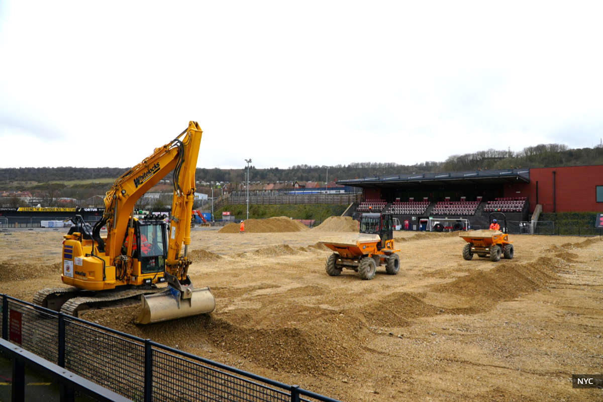 Scarborough Athletic Reveal Pre-Season Fixtures As Council Updates On Pitch Repairs
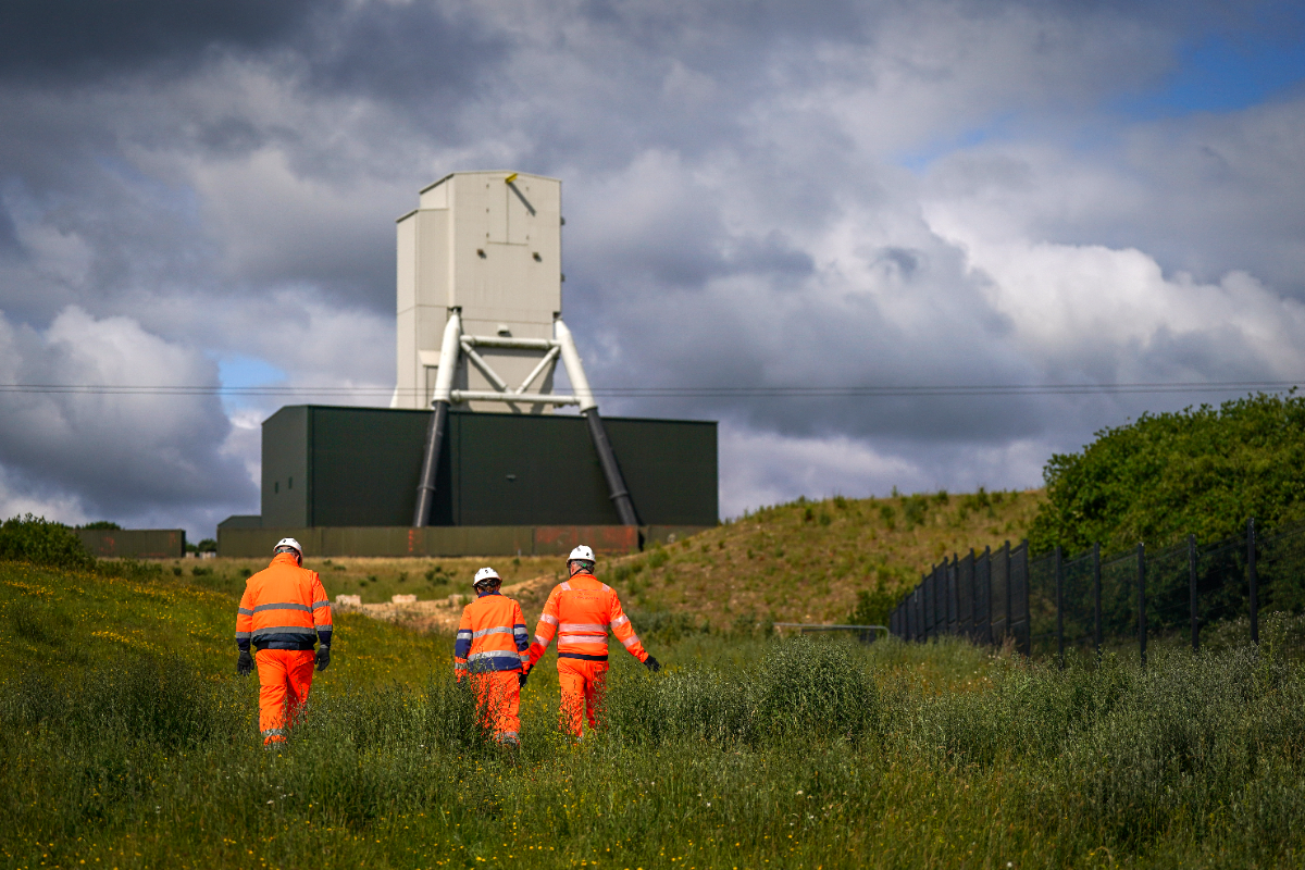 Anglo American Says Woodsmith Project Boosts Regional Economy By Nearly £2 Billion
 Scarborough And Whitby MP Welcomes Red Diesel Duty Cut
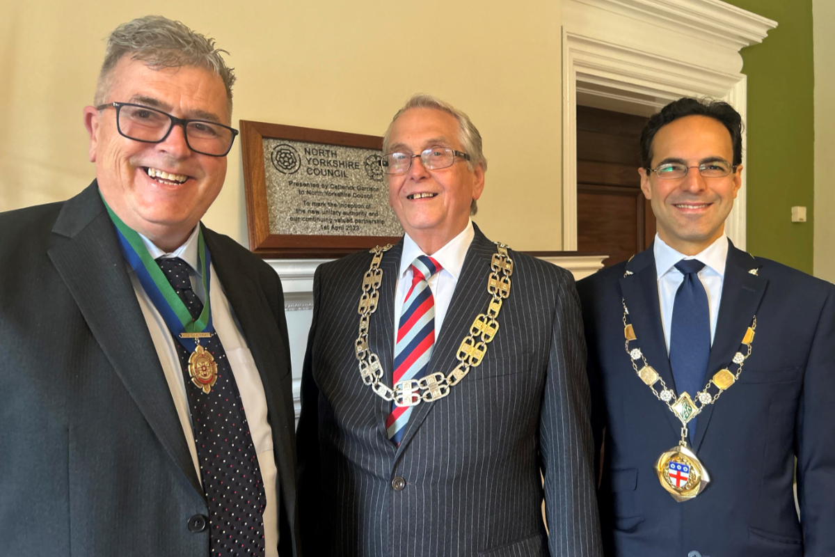 Two Yorkshire Coast Councillors Appointed As Chair And Vice-Chair Of North Yorkshire Council
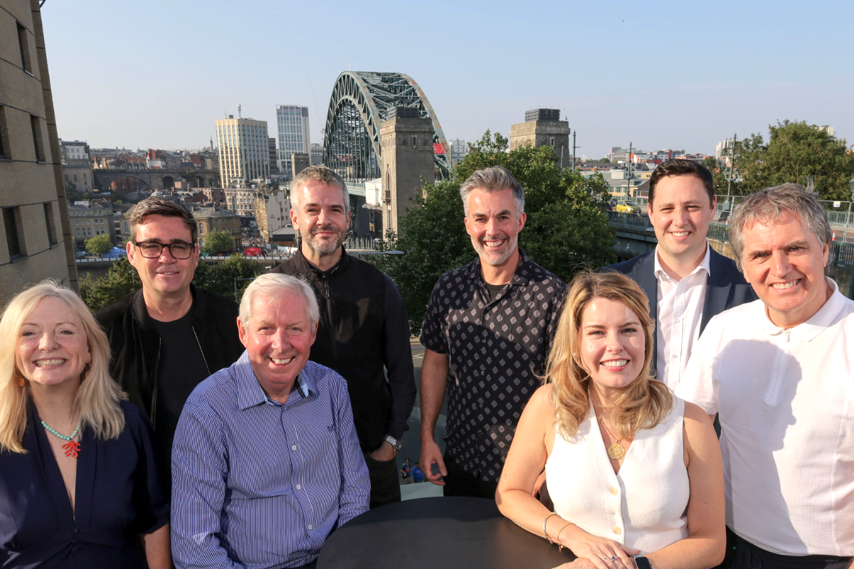 Yorkshire Coast Mayors Back Northern Olympic And Paralympic Games Bid
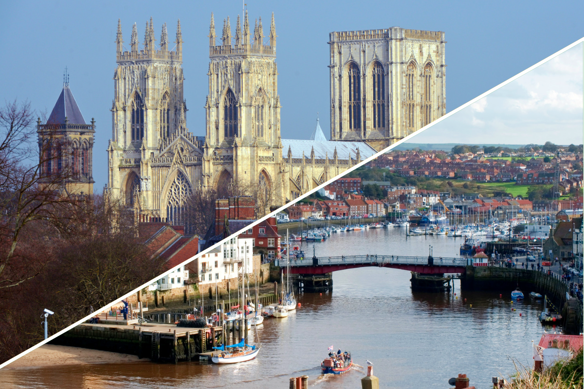 Fears Devolution Will Fail Over 'York-Centric' Decisions
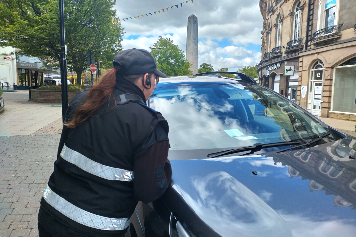 Scarborough Spot Checks For National Blue Badge Awareness Week
 Public Urged To Have Their Say On Bridlington's Striking New Murals
 The Rainbow Centre Announces Return of Whitby to Scarborough Charity Bike Ride


Comments
Add a comment