


Heavy SNOW is affecting the A171, A169 and A174 as the Met Office bring forward their Weather Warning.
A line of snow showers has merged, known as a stream, and is bringing a continuous line of precipitation in off the North Sea.
The snow started around 2pm, coming in on a chilly northerly wind which has its source in the Arctic.
The Met Office has predicted heavy snow showers for the Yorkshire Coast to start from around midnight but have just brought forward their Yellow Weather Warning to start at 5:00pm this afternoon and run until midnight on Saturday night.
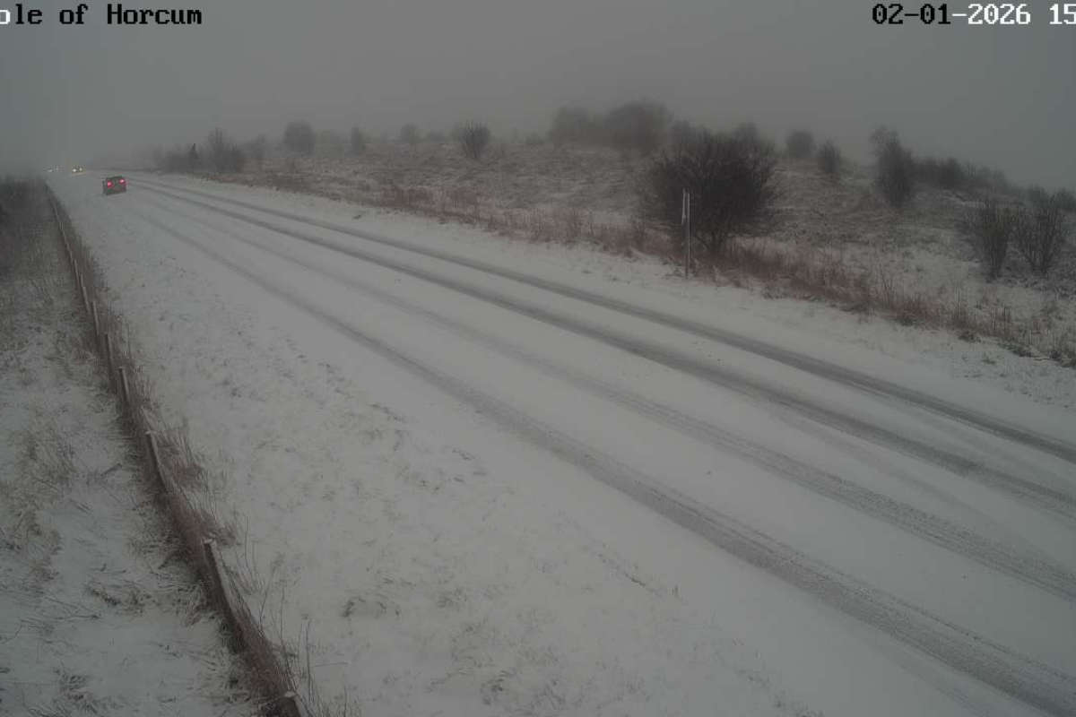
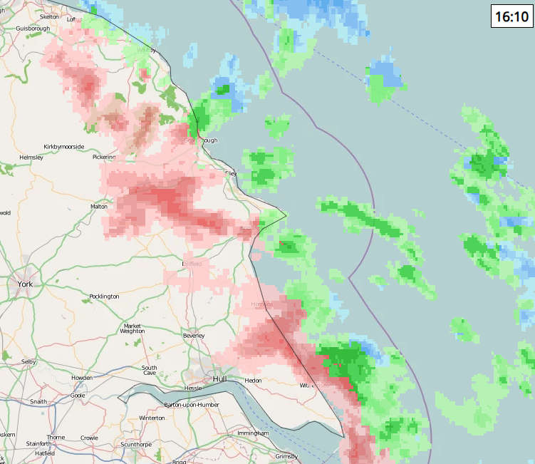
The latest data shows the A169 and A171 being heavily affected by the snow:
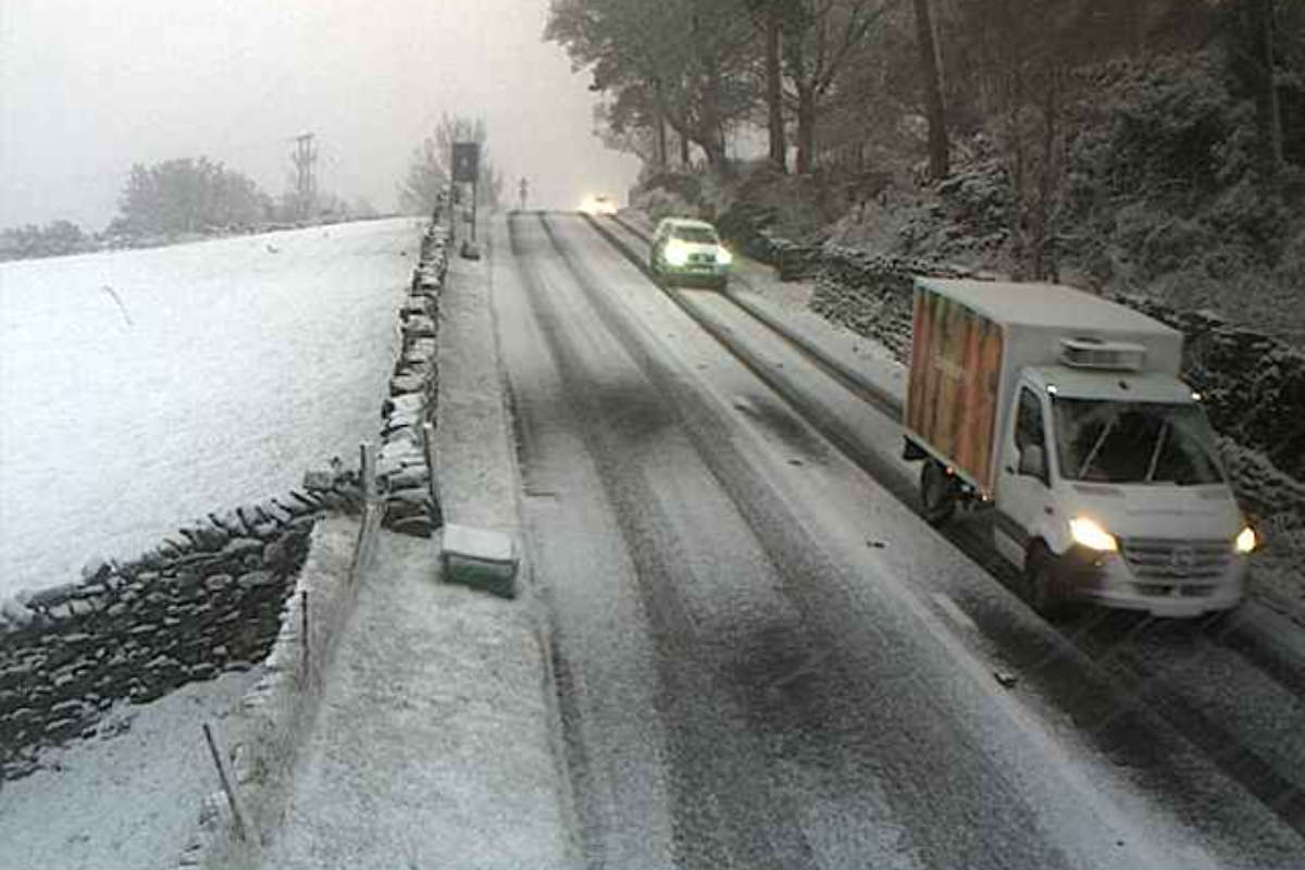
This was the scene a short time ago at Blue Bank on the A169:
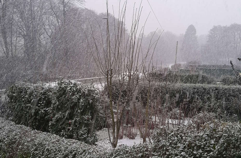
This was taken by Stephen in Egton Bridge:
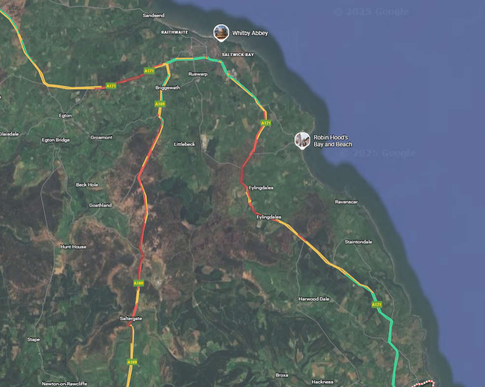
This radar from NetWeather shows the snow (in red) heading south and now venturing slightly inland too:
The latest Met Office Weather Warning, in force from 5:00pm states;
Snow showers are expected to spread inland during Friday night and Saturday, becoming frequent and perhaps heavy at times. Around 1-3 cm of snow is likely to accumulate quite widely, with 5-8 cm possible in places, this most likely across the North York Moors. The snow showers will gradually become lighter and less frequent during Saturday evening, and move offshore overnight. Icy patches will also form, particularly during Saturday evening where roads have potentially been left wet from partially thawed snow during the daytime.
What Should I Do?
Snowy, wintry weather can cause delays and make driving conditions dangerous. Keep yourself and others safe by planning your route, giving yourself extra time for your journey. Check for road closures or delays to public transport and amend plans if necessary.
If driving, make sure you have some essentials in your car in the event of any delays (e.g., warm clothing, food, water, a blanket, a torch, ice scraper/de icer, a warning triangle, high visibility vest and an in-car phone charger).
Be prepared for weather warnings to change quickly: when a weather warning is issued, the Met Office recommends staying up to date with the weather forecast in your area.
There is an near identical warning for Monday too:
Snow showers are expected to move inland from the North Sea in the early hours of Monday, becoming frequent and perhaps heavy at times, before easing by early afternoon. Around 1-3 cm of snow is likely to accumulate quite widely, with 5-8 cm possible in places, this most likely across the North York Moors. Icy patches are also likely to form.
We have regular LIVE travel updates on air. LISTEN LIVE

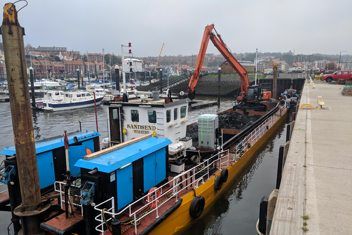 Dredging Boost for Whitby and Scarborough Harbours as Restrictions Relaxed
 Scarborough MP: New and Exciting Things Opening Up
 Scarborough Athletic Face South East Hike
 Whitby Town Chase Rushall Double
 Bridlington Town Back At Home With Consett Tuning Up
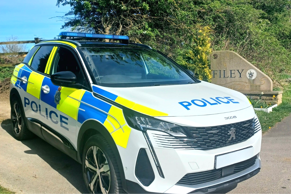 Operation Scooter Targets Moped and Motorcycle Theft in Eastfield and Filey
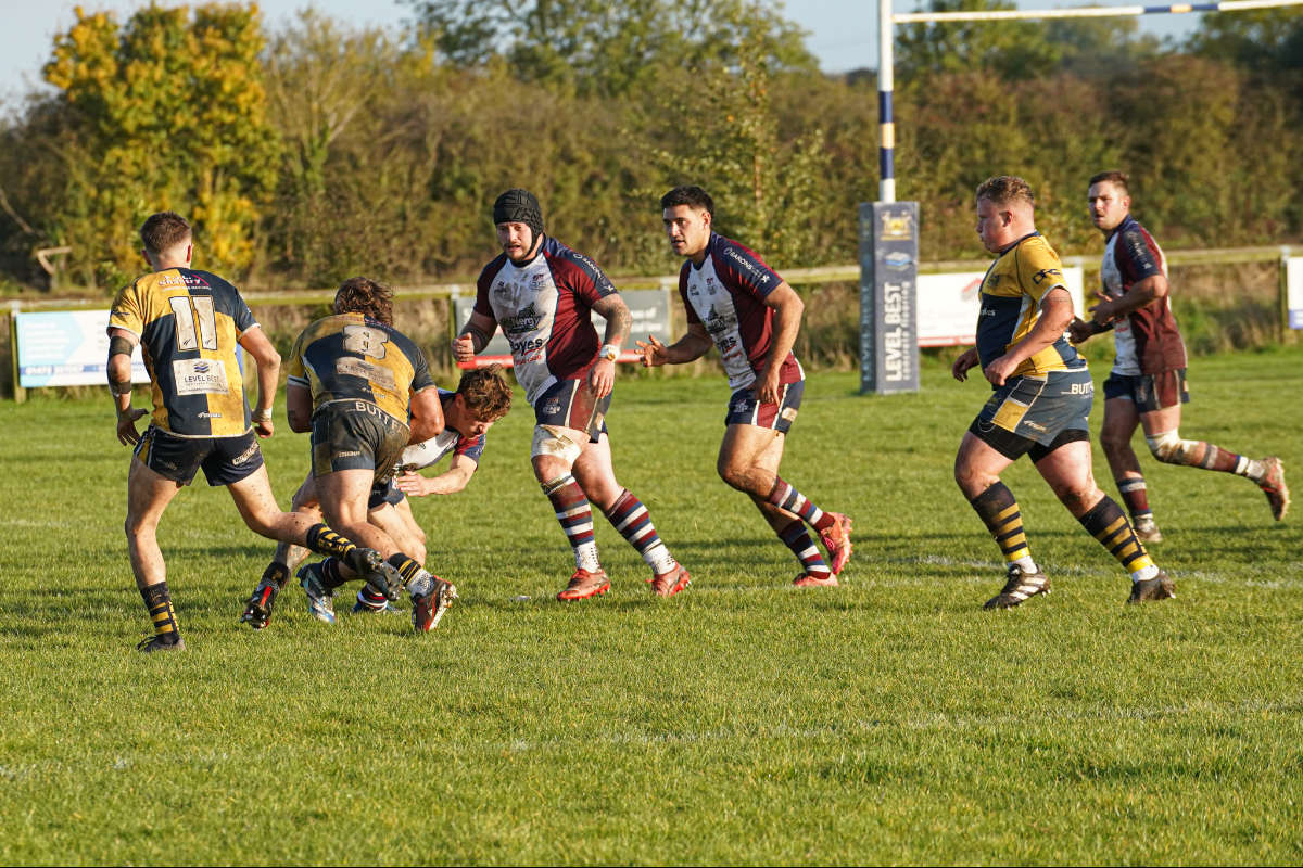 Scarborough and Bridlington Rugby Try To Stay On Top
 Pickering Town's Destination is Doncaster
 Challenges for North Yorkshire Moors Railway as Historic Bridge Repairs Hit Complications
 Goodbye and Thank You to Whitby RNLI Chairman, Mike Major
 Police Appeal After Night-time Assault in Whitby
 Scarborough Darts Players Push Professionals In UK Open


Comments
Add a comment