


Geologists at the British Geological Survey (BGS) have completed a landmark update to the geological maps of the Yorkshire Wolds, providing essential data for the first time in over a century.
This five-year endeavour aims to protect the region's natural reservoirs and inform vital policy decisions regarding groundwater management,.
The project represents a significant technological leap. Much of the area was last mapped in the 1800s, an era when geologists relied on ground observations often conducted from horseback. Those early surveys predated modern satellite data, underground imaging, and our current understanding of how tectonic plate movements affect chalk layers. In contrast, the updated mapping utilised 2D seismic data, digital elevation models, aerial imagery, and borehole records to build a comprehensive picture of what lies beneath the surface.
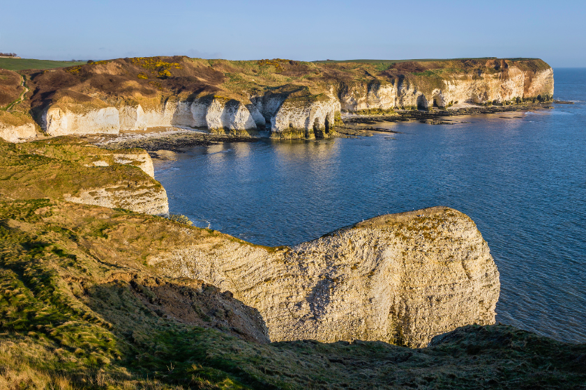
The focus of this scientific effort is the Chalk Group, the distinctive white rock that forms the region’s magnificent coastal cliffs and extends deep underground. This chalk acts as an 'aquifer'—a natural reservoir that serves as the primary source of drinking water for the area.
Laura Burrel Garcia, a survey geologist at the BGS, noted that this new data provides a solid framework to help the region navigate modern challenges.
"Over the past hundred years since the geology of the Yorkshire Wolds was last mapped, our ability to better understand what lies beneath our feet has vastly improved thanks to technological advances and a modern understanding of geology. The updated geological maps will help companies, farmers, local planners and regulators make more informed decisions around the management and protection of the chalk aquifer in the Yorkshire Wolds.
The data also provides a solid geological framework to underpin future work to help mitigate present and future issues faced in the Yorkshire Wolds, including drought, coastal erosion, water quality and saline intrusion into the aquifer."
According to the BGS, the aquifer is currently under pressure from several factors, including:
- An increased demand for water from a growing population and local industries.
- The risk of nitrate contamination stemming from agricultural practices.
- The threat of salt water from the Humber estuary intruding into the drinking water supply.
The project was a collaborative effort between the BGS, the Environment Agency, and Yorkshire Water Services Limited. Ruth Buckley of the Environment Agency says the project will have very long term benefits.
"The team at the BGS has not just remapped the Yorkshire Wolds; they have also shared their expertise and enthusiasm with all.
The outputs of this project will benefit the people of Yorkshire for centuries to come and will greatly assist the Environment Agency in our work to create better places for people and wildlife, while supporting sustainable development."
The improved maps will allow for better modelling of how water flows through the chalk and how it interacts with springs and rivers. This level of detail is expected to help farmers, local planners, and regulators make more informed decisions to protect East Yorkshire’s water resources,.
Mark Morton of Yorkshire Water Services Limited described the collaboration as a "wonderful example of shared learning,"
"The BGS team members were generous with their time, sharing their expert knowledge of field mapping and interpreting the modern information. It was a pleasure to work with them.
The end result is a huge improvement in the collective understanding of the geology, which will feed into improvements in understanding of groundwater flow and a new groundwater model based on the new geology maps.
This gives us the ability to better manage East Yorkshire’s water resources and protect the environment now and into the future. "
The new geological maps will be integrated into the national geological map and made freely accessible to the public via the BGS online portals at https://www.bgs.ac.uk/information-hub/bgs-maps-portal/

 Train Services Suspended As Large Crop Fire Blocks Railway Line Near Filey
 Human Artists To Be Prioritised For Future Commissions Following Scarborough AI Backlash
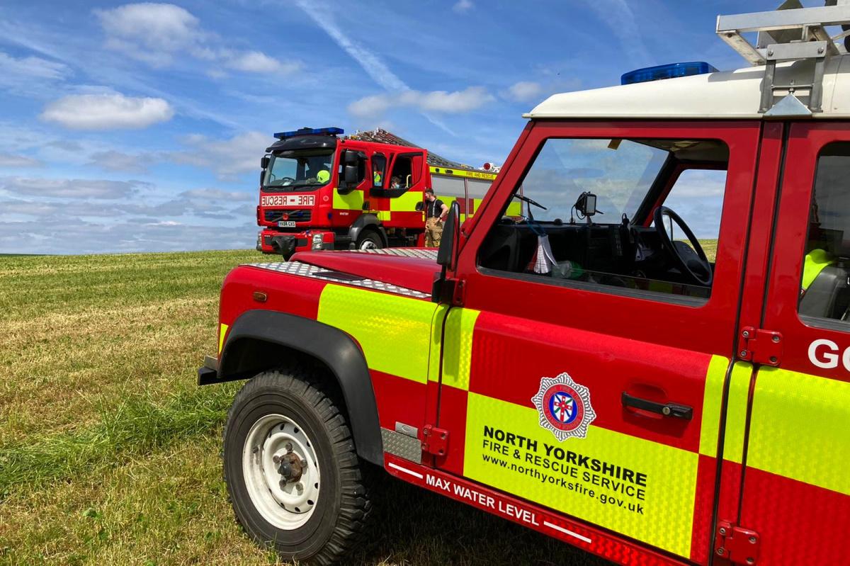
 Yorkshire Fire Services Unite To Prevent Devastating Summer Wildfires
 Scarborough And Bridlington Hospitals Face 'Unprecedented' Financial Challenge
 £2.5 Million Upgrade Plan for Scarborough Cremation Services
 Extensive Sea Search Prompted By Reports Of Struggling Paddleboarder Near Port Mulgrave
 'Park And Ride Service Is Putting Pedestrians In Danger', Says Whitby Councillor
 Scarborough Shop Owner Ordered to Pay Over £3,300 for Illegal Tobacco and Vapes
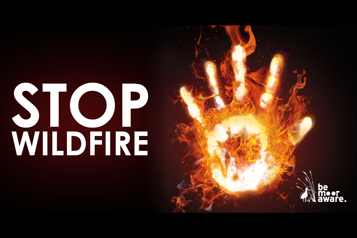
 Major Restoration Programme Begins On Fire-Ravaged Fylingdales Moor
 Scarborough Athletic Seek Bumper Crowd For Tigers Test
 Hidden Batteries Spark Dangerous Fires Inside Yorkshire Bin Wagons
 North Yorkshire Blaze Risk: Disposable Barbecues Face Potential Ban


Comments
Add a comment