


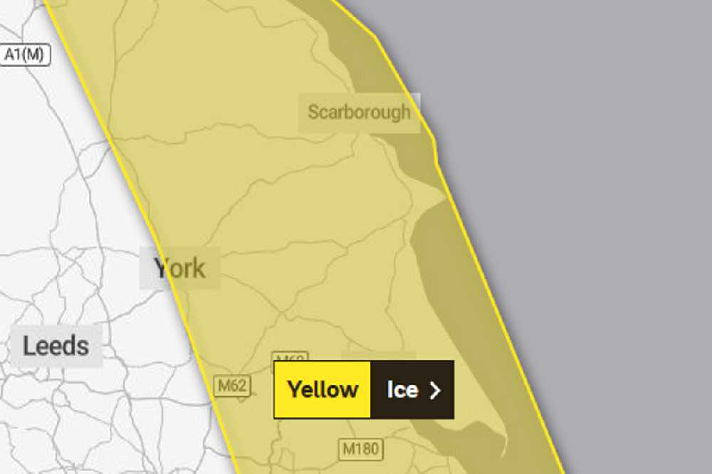
The first Met Office warning is in force from 4:00pm today until 10:00am tomorrow.
They say further showers this evening and overnight could lead to ice on untreated surfaces as temperatures plummit to well below freezing.
Some of the showers may be wintry inland but the chance anything other than isolated and very small accumulations of snow is very low.
A second Met Office weather warning for ice covers the whole Yorkshire Cooast from 5:00pm Thursday until 11:00am Friday.
In it, they say showers, with a mixture of rain, sleet and snow, are expected to fall onto frozen surfaces leading to icy stretches forming.
In addition, a more persistent spell of rain and hill snow is likely to spread south across northern England and north Wales during Thursday evening and night. Whilst ice is expected to be the main hazard, snow is likely in place too.
Snow is most likely to fall over The Pennines, North York Moors and the high ground of Wales, with 1-3 cm possible here.
Elsewhere, whilst some snowfall is possible, accumulations are likely to be slight and temporary.

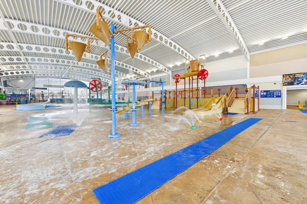 Scarborough's Alpamare Waterpark Could Have New Owner by Autumn
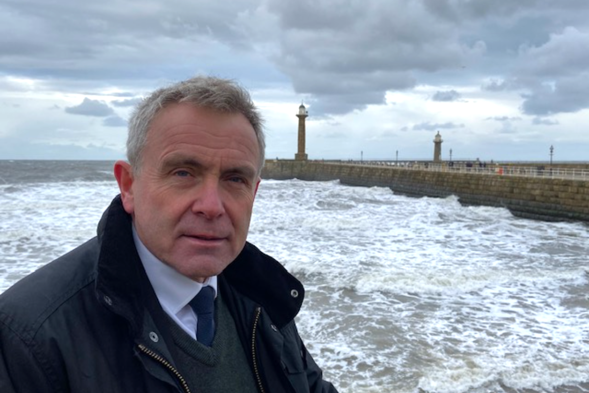 Mixed Reactions To Sir Robert Goodwill's Appointment As Yorkshire Bathing Water Partnership Chair
 Smiley and Sad Face Speed Signs Set to Remain Banned in North Yorkshire
 No Date For Delayed Opening Of Scarborough NHS Diagnostics Centre
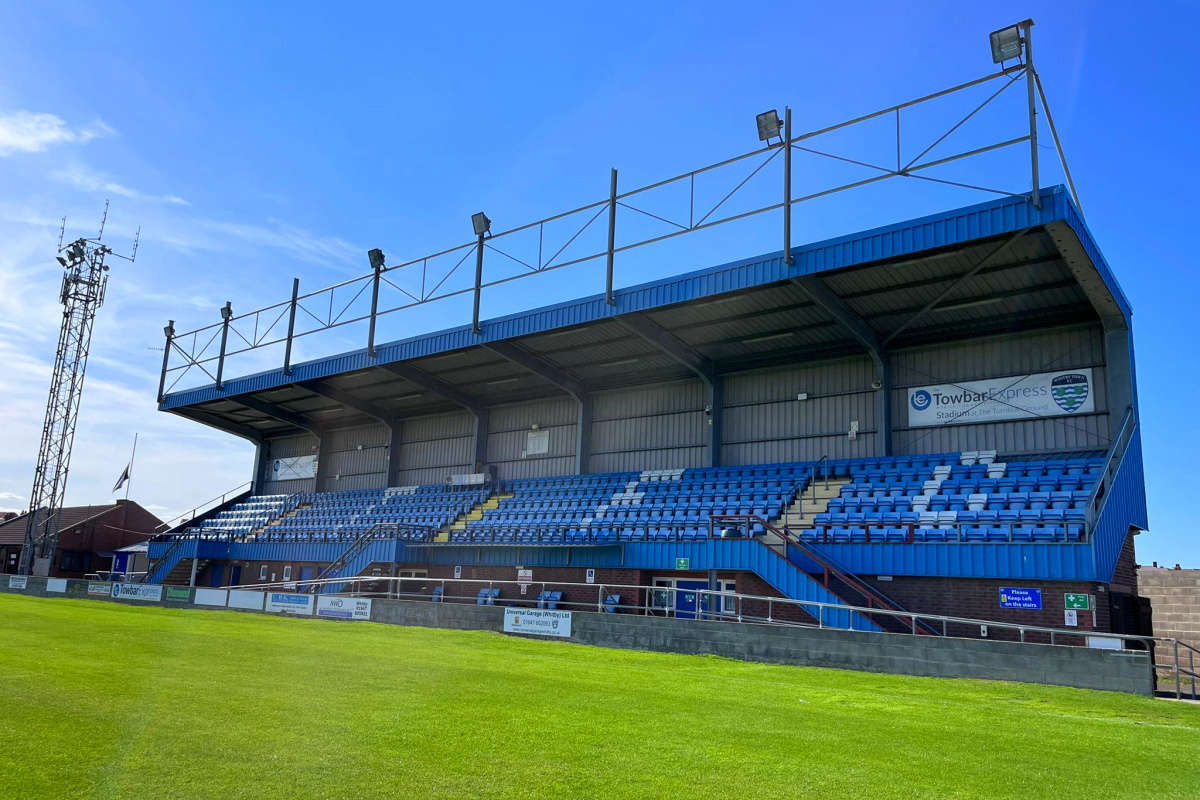 Whitby Town Sign Promising Defender Stan Hewitt Following Bridlington Town Departure
 New Owner Sought For Scarborough's Alpamare Water Park
 No Redundancies Expected As Bridlington Care Unit Staff To Be Redeployed Across Local NHS
 North Yorkshire Councillors Urge Mayor To Reconsider Highway Funding Reallocation
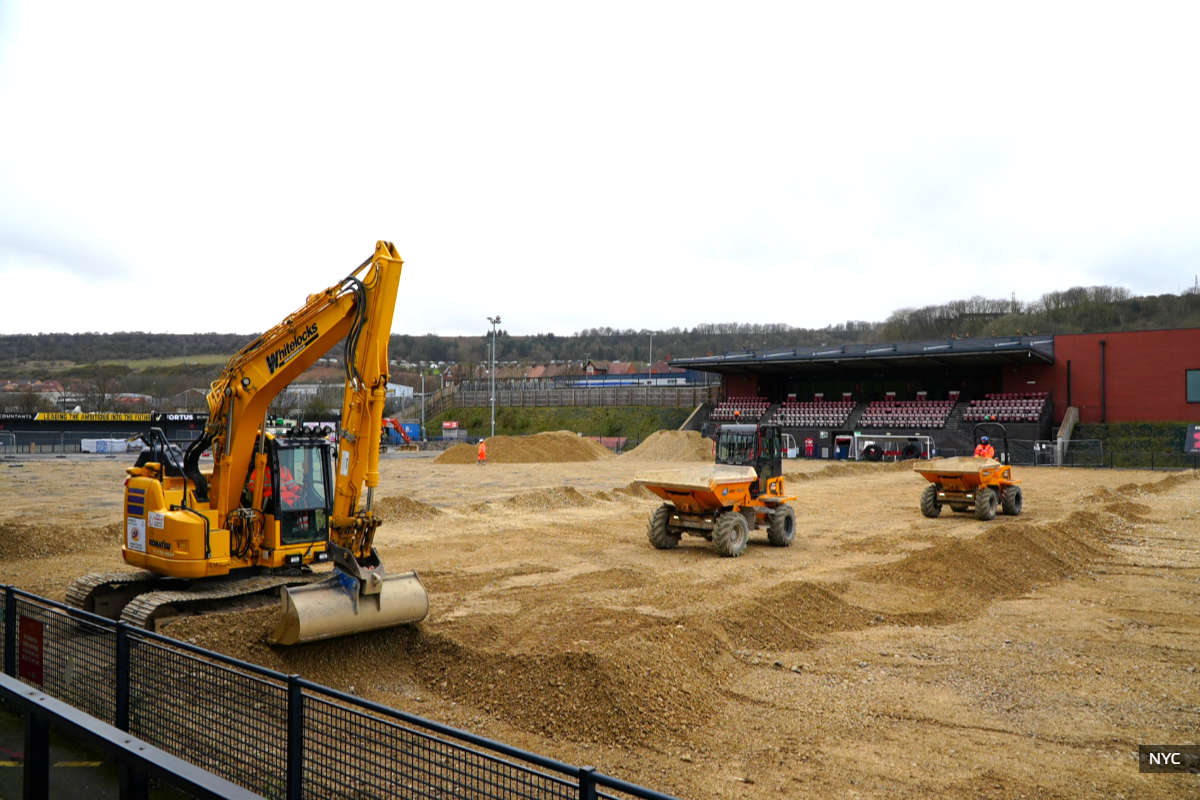 Scarborough Athletic Reveal Pre-Season Fixtures As Council Updates On Pitch Repairs
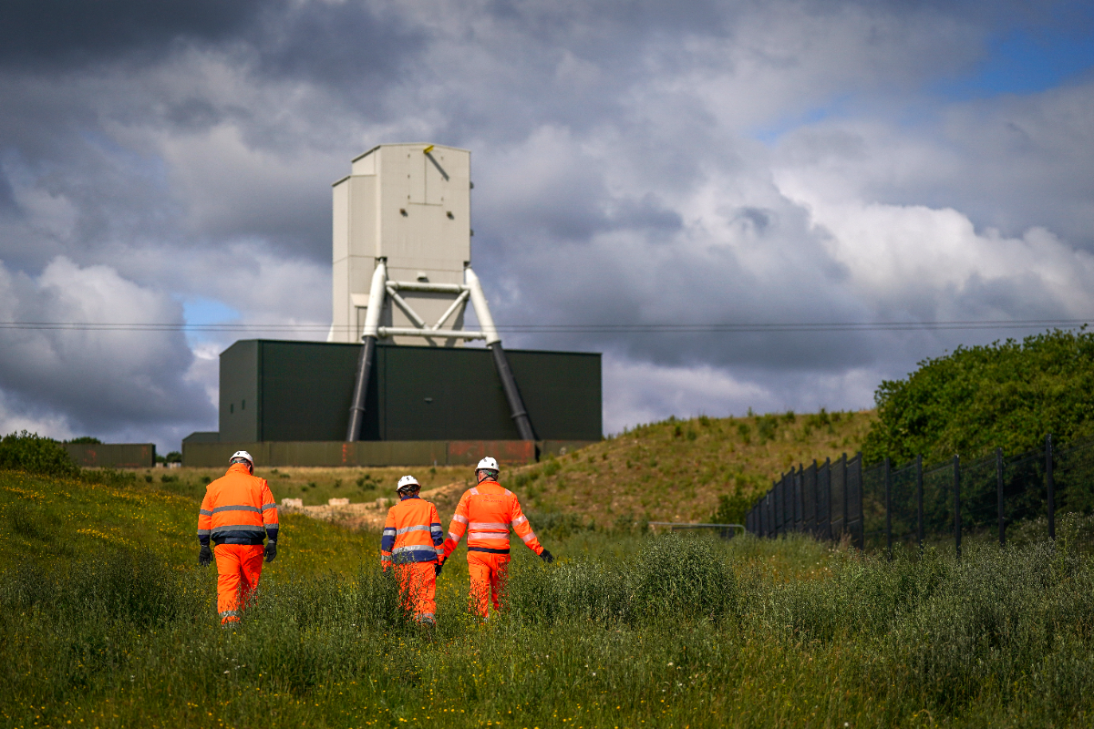 Anglo American Says Woodsmith Project Boosts Regional Economy By Nearly £2 Billion
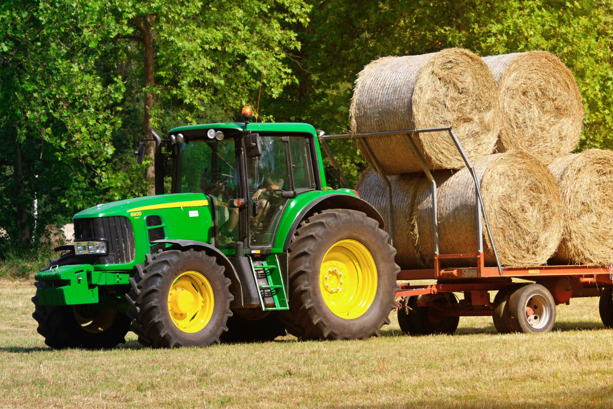 Scarborough And Whitby MP Welcomes Red Diesel Duty Cut
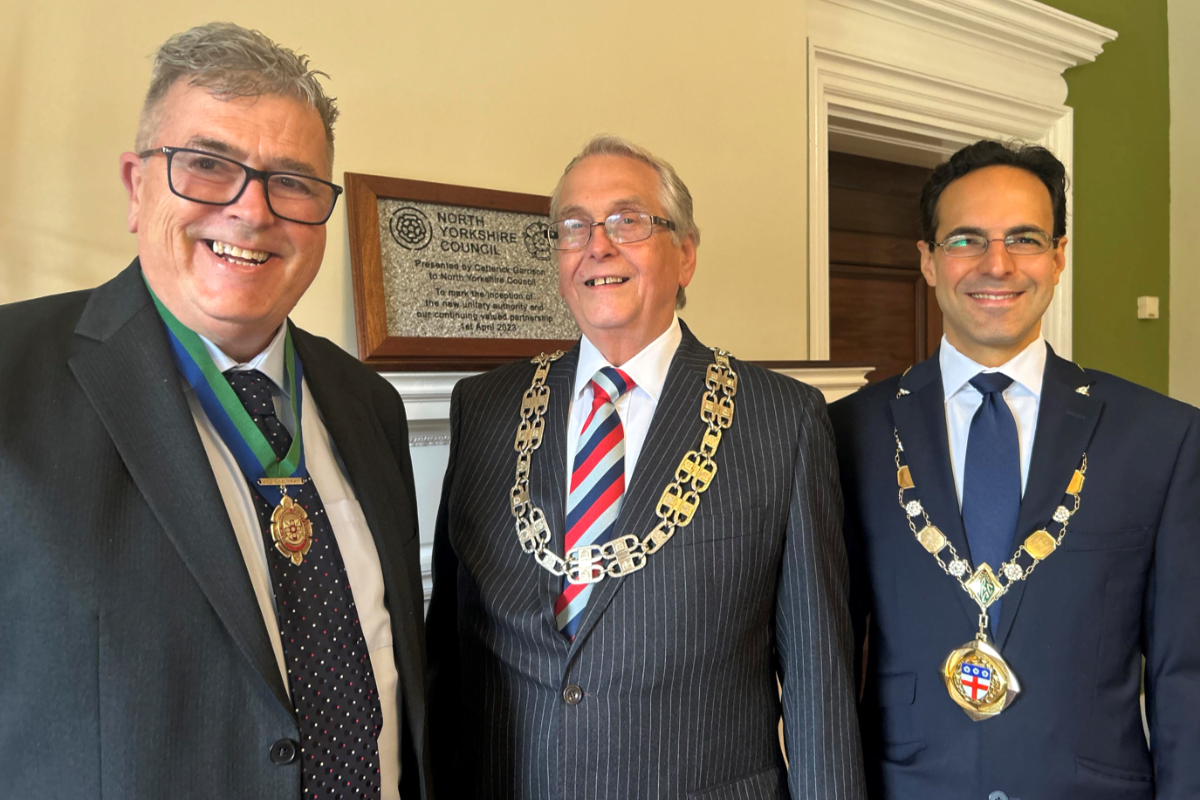 Two Yorkshire Coast Councillors Appointed As Chair And Vice-Chair Of North Yorkshire Council


Comments
Add a comment