


Yorkshire Water has partnered with an environmental survey company to use aerial mapping and artificial intelligence across the Yorkshire Coast to identify misconnected pipes and reduce bathing water pollution.
Yorkshire Water has teamed up with the environmental survey company APEM Group to map the county’s bathing waters in a bid to help cut pollution.
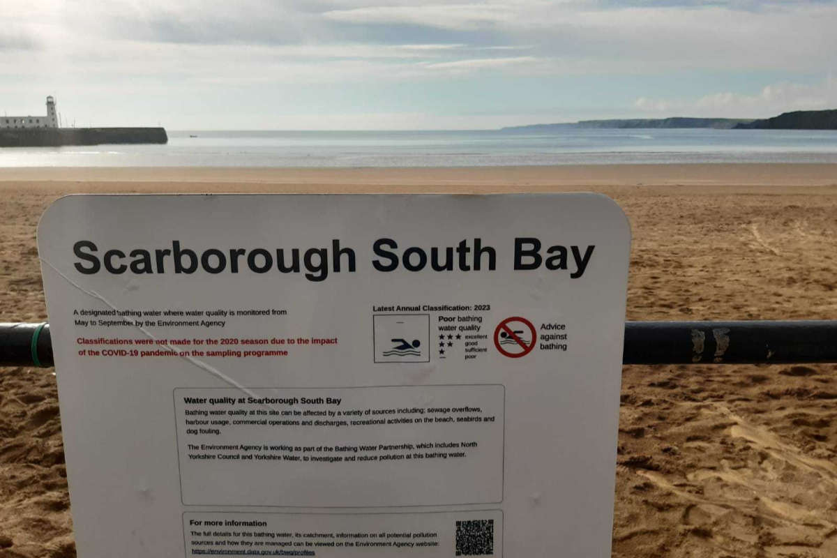
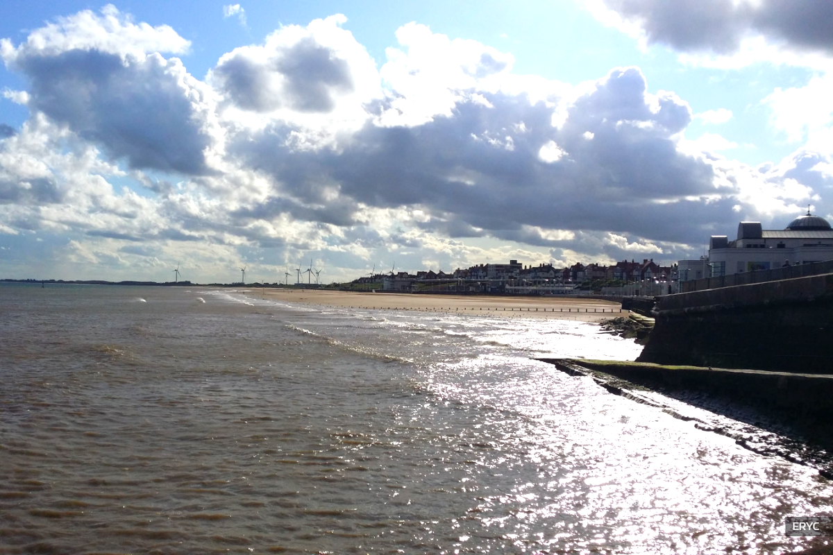
The project utilises cutting-edge aerial technology to map the wastewater network across the East coast, focusing on coastal towns including Filey, Bridlington and Scarborough.
Specially designed camera systems mounted in fixed-wing aircraft were used to capture ultra-high-resolution aerial imagery from the sky. This imagery was then transformed into detailed two-dimensional and three-dimensional models.
By incorporating artificial intelligence technology, the models enabled the rapid identification of wastewater features such as manholes and drainage entry points across the area. The system was also deployed to spot potential misconnected pipework and possible pollution issues that could affect the quality of local water courses.
After surveying more than eighty square kilometres across the East Yorkshire coast and inland areas, the three-dimensional mapping revealed over half a million previously unmapped points connected to the sewer network, including gullies and downpipes.
The survey also uncovered an almost four-thousand per cent increase in contact points to the sewer network that were previously undetected following the transfer of private sewers into the utility's ownership. Furthermore, over thirty-two thousand potential misconnections were identified, with two thousand eight hundred connecting directly to watercourses, alongside one hundred and seventy-eight potential rural pollution issues.
Thomas Ogden, the wastewater smart networks manager at Yorkshire Water, said:
"This is the first time that we have carried out a mapping project on this scale to give us a better understanding of our network.
We’ve mapped thousands of previously undetected assets across the East coast and inland bathing water sites and found over 2,800 potential misconnections on both domestic households, our wastewater network and other pollution risks such as from agricultural runoff and septic tanks.
This overarching view using APEM’s technology will improve how we manage and maintain the sewer network as well as give us the intelligence required to predict and prevent some pollutions in the future. Plugging this important historical gap will allow Yorkshire Water to confidently plan for the future.
The data will be integrated into Yorkshire Water’s operational systems and will help strengthen the utility’s operational decision-making by effectively ‘joining the dots’ between visible assets and below ground pipework. This new insight is being shared with the wider business to support teams to work more efficiently, reduce unnecessary site visits and target efforts where they will have the greatest impact."
Using this new aerial perspective to map misconnections across the coast will help the utility intervene sooner and prevent future pollution impacts on the region’s sea and rivers.
Having access to this data marks the beginning of the process. Yorkshire Water is planning further investigations of the priority misconnections to determine if they are connected to the wrong sewer and will work with customers to rectify any issues.
Additional investigations will be carried out to narrow down which of the potential thirty-two thousand misconnections require further intervention, although the utility notes that the majority of those identified from the air will not necessarily cause any environmental impact.
Jack Oxtoby, senior geospatial insights consultant at APEM Group, said:
"We used our aerial imagery to create 3D models over 80km² of coastline and inland bathing water. Our expert team of technicians, project managers and image analysts combined the ultra-high-res imagery together with AI to identify and colour code surface water outfalls, gulleys, soil stacks and manholes, which were then added to a map to show all the previously unknown assets.
We support water companies by helping them to manage leakage, drought and pollution impacts. This new aerial footage has provided Yorkshire Water with a large-scale view of the coastal and inland bathing water areas that will give the utility a comprehensive understanding of its wastewater network that was previously unmapped. APEM’s non-intrusive aerial survey imagery complies with UK GDPR requirements with strict controls on how data is handled."
Moving forward, the team at Yorkshire Water will collaborate with local authorities to ascertain that rainwater runoff is flowing into the correct wastewater network. They will coordinate drainage maps and other resources to increase efficiency at wastewater treatment sites and reduce potential pollution events along the Yorkshire Coast.
Related Stories
 17 Jun 2026 - Yorkshire Water's Bathing Water Manager says he is excited by a £120 million investment plan aimed at reducing storm overflow spills and ...
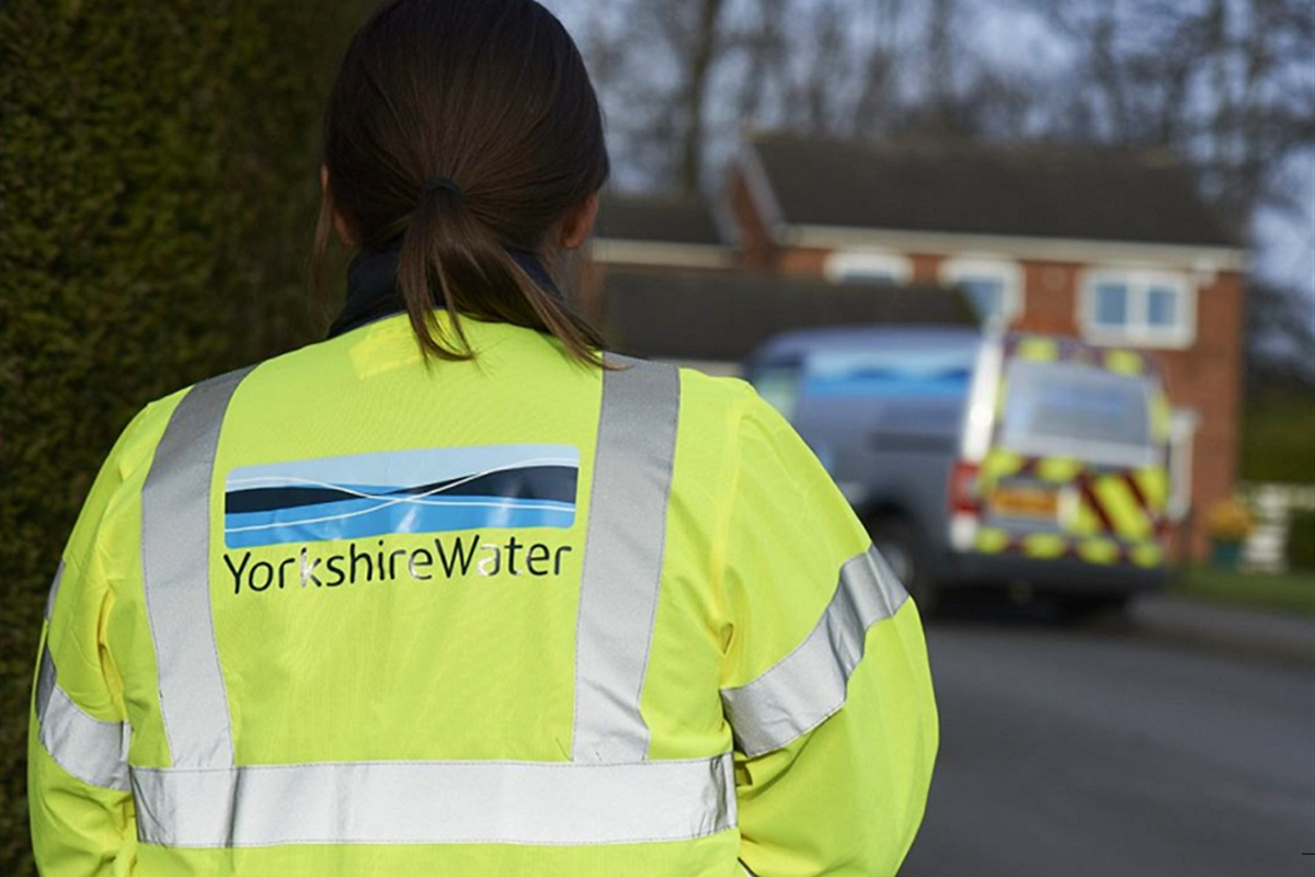 15 Jun 2026 - Yorkshire Water's Manager of Strategic Partnerships has provided an update on efforts to tackle water quality issues at Scalby Beck.
 15 Jun 2026 - Yorkshire Water has reassured residents that a faulty monitoring device at a combined sewer overflow station in Scarborough, ...
 14 Jun 2026 - Yorkshire Water is working with the Environment Agency to accelerate investment in coastal resorts, aiming to significantly reduce sewage ...
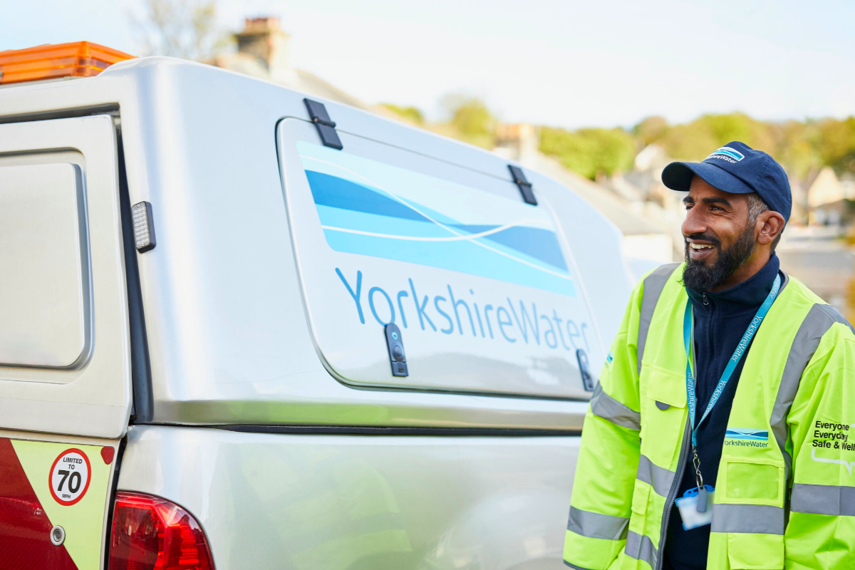 7 Jun 2026 - Yorkshire Water has begun surveying the Sandybed area of Scarborough ahead of constructing a new service reservoir to improve the resilience ...
 14 Apr 2026 - Yorkshire Water and the Environment Agency are rolling out a £150 million investment and advanced monitoring technology to tackle the ...
-
12 Apr 2026 - Yorkshire Water has announced the creation of a new dedicated bathing water quality team, with a particular emphasis on beaches in and ...

 Coastal Residents Facing Unfair Parking Charges, Says Hornsea Councillor
 North Yorkshire Fire Service Publishes Debrief On Fylingdales Moor Wildfire
 East Riding Residents Urged To Stay Safe In Open Water
 North Yorkshire Rotters Celebrate 20 Years Of Inspiring Communities To Cut Waste
 MP Says Scarborough And Whitby Firms Welcome Summer Savings Scheme
 Smoking Costs East Riding £225 Million a Year as New Figures Are Revealed
 Hotel Unveils Summer Music Programme In Robin Hood's Bay
 Keep Britain Tidy Launches Hunt For New Litter Heroes Across North Yorkshire And The East Riding
 North Yorkshire Police Promise Firm, Fair, And Friendly Policing as England Start World Cup
 Funding Approved For Major Expansion Of Eastfield's Westway Boxing Club
 New Ten-Year Strategy Approved For Scarborough, Whitby And Filey Harbours