

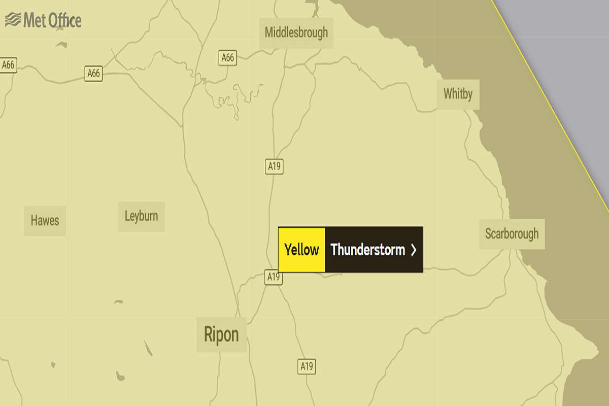
From 11am on Sunday, the region is set to be hit by heavy rain.
The Met Office say:
- There is a good chance driving conditions will be affected by spray, standing water and/or hail, leading to longer journey times by car and bus
- Delays to train services are possible
- Probably some damage to a few buildings and structures from lightning strikes
- Some short-term loss of power and other services is likely
- Some flooding of a few homes and businesses possible, leading to some damage to buildings or structures
Showers, heavy and thundery, will reach southwest England and Wales later Sunday morning, before spreading and developing more widely during the afternoon. Whilst some areas will miss the heaviest showers, where they do occur 10-15 mm of rain is possible in less than an hour, with 30-40 mm possible over several hours, these larger totals most likely for parts of north and northwest England and southwest Scotland. Hail, frequent lightning and, in southern parts of England and Wales, wind gusts of 35-45 mph will be additional hazards. Heaviest showers and thunderstorms will become more isolated later in the evening.

 Scarborough Athletic Give Five Star Southport Showing
 Yorkshire Coast Holiday Park Reduces Caravans To "Remain Attractive To Tourists"
 Now Whitby Town Score Six Themselves In Shock Turnaround
 National Energy Price Hike Hits Yorkshire Coast
 North Yorkshire Mayor Backs Scarborough Seaweed Cultivation Plan
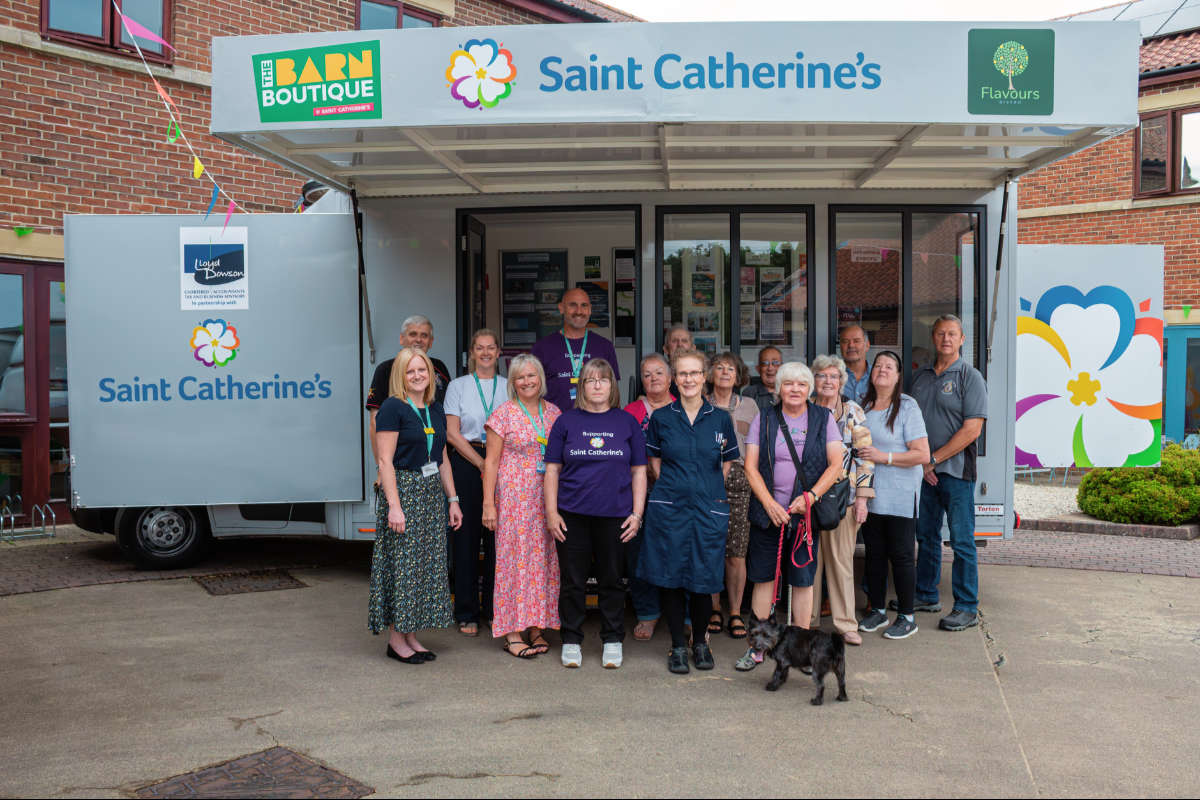 Bridlington Woman Doubles Walking Challenge To ‘Go The Extra Mile’ For Saint Catherine’s
 Sad News After Malton Bike Crash
 Whitby Holiday Let Plan Rejected
 Yorkshire Water: Bank Holiday Safety Warning
 Brid Town Through in Trophy After Penalty Drama
 Pickering Town Enjoy Four-Some Victory
 Man Arrested in East Riding Nearly 3 Times Over Drink Drive Limit









Comments
Add a comment