

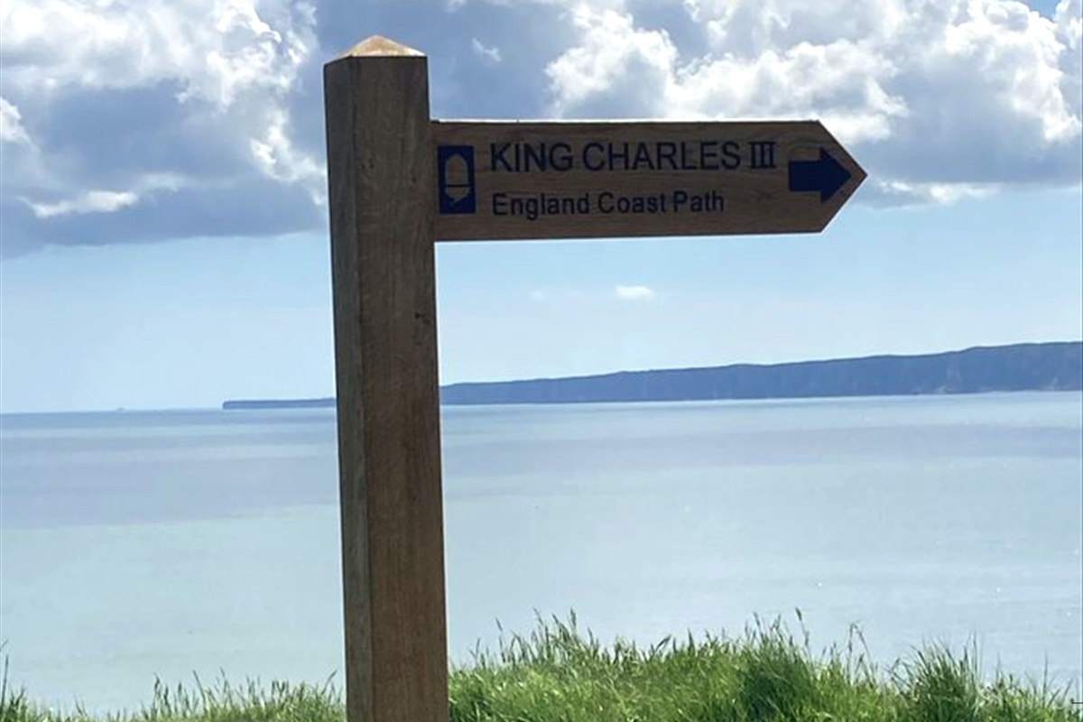
A 21 mile stretch of the Yorkshire Coast has officially become part of the King Charles III England Coast Path.
The King Charles III England Coast Path is a new walking route that will follow the entire coast of England.
The idea is that for the first time people will have the right of access around all the nations open coast.
The path is being opened in sections but will, when completed, be the longest coastal path in the world and will be designated a National Trail.
The new section of the route from Bridlington north sands to Filey Brigg means there are now 794 miles of walkable coastal path around the UK coastline. The section was officially opened yesterday by Filey Town Mayor, Councillor Jacqui Houlden-Banks.

Starting just north of Bridlington near the Coast Guard Station, the route passes along the gently undulating low chalky cliffs rising to the world famous Flamborough Head, with its impressive high stacks and cliffs, the most northerly chalk cliffs in the UK. Visitors can wind around its many coves and bays used by smugglers in the 18th century, before arriving at the two lighthouses of Flamborough, the old lighthouse from 1674 and the new 1806 lighthouse, both of which are Grade II listed buildings.
The route then leads onto the spectacular Bempton Cliffs, where the magnificent sea bird colonies and the distinctive coastline are easily observed from the RSPB viewpoints. From Bempton the trail keeps to the cliff tops and reaches its highest point on Speeton Cliffs where the views north on a clear day take in Filey Brigg, the site of a Roman Signal Station, Scarborough Castle, and Cloughton Wyke in the distance. Sections of new access give new views across Speeton Gap and Flat Cliff Gill, Reighton before entering Filey Country Park.
The national trails organisation say they hope to have nearly three thousand miles of walking route in place by the end of next year.
In the North East, the following sections are open to the public:
- Skegness to Mablethorpe (26 Km / 16 miles)
- Bridlington to Filey Brigg (34 Km / 21 miles)
- Filey Brigg to Newport Bridge (110 Km / 69 miles)
- Newport Bridge to North Gare (16 Km / 10 miles)
- North Gare to South Bents (55 Km / 34 miles)
- South Bents to Amble (71 Km / 44 miles)
- Amble to Bamburgh (47 Km / 29 miles)
An Interactive Map shows the route of the sections and how they link up, it also provides information about local faciliteis along the way.


 Record Multimillion-Pound Investment Promises To Fix North Yorkshire's Roads And Potholes
 North Yorkshire Police Emergency Call Waiting Times Remain Low Despite Surge In Demand
 Row Over £20,000 'Incorrect' Public Toilet Charges in Whitby
 'Strong Fish Smells' Spark Objections To Seafood Business Application
 Maternity And Neonatal Services Face £736,000 Funding Gap To Meet New Safety Standards
 Concerns Raised Over Tourist Tax Powers In North York Moors National Park
 Educational Outcomes For Coastal Children To Receive Major Boost Under New Pilot Scheme
 Special Train Journey Evokes Precious Memories For Dementia Patients On The Yorkshire Coast
 Free Flu Vaccines Will Be Available At Drop-In Clinics Along The Yorkshire Coast
 Extracurricular Opportunities Set To Expand For Pupils In Scarborough And Whitby
 Time-Travelling Children Uncover Scarborough's Geological Past
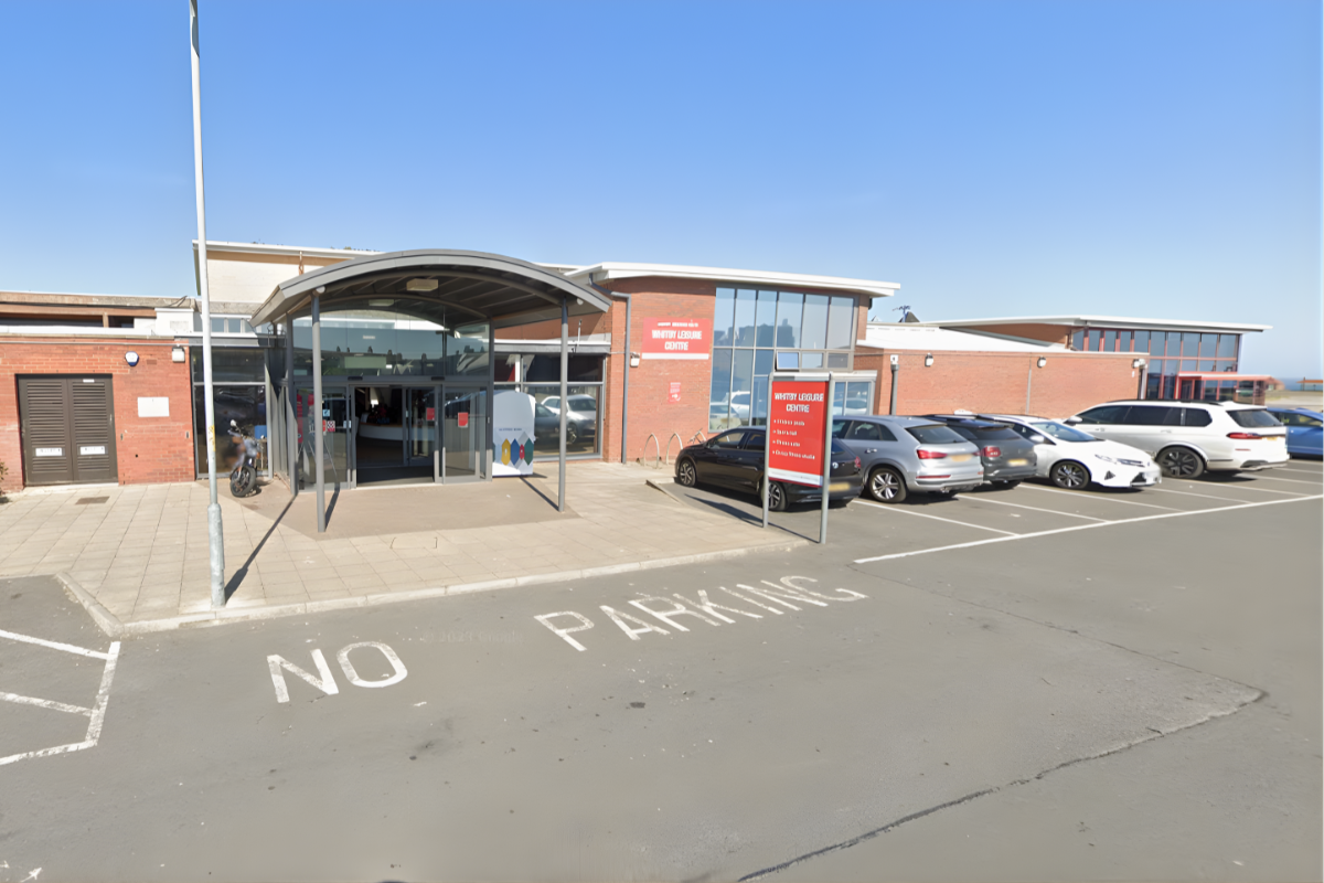 Solar Panels Confirmed For Whitby And Eastfield Public Buildings To Cut Energy Bills











Comments
Add a comment