


A team of Yorkshire data scientists have created new interactive maps showing the UK coastline as a single straight line to plot economic data.
Is the coast poor? that's the question behind a new new data project being undertaken by the Open Data Institute in Leeds and the UK Major Ports Group.
They've been collecting data from across Europe which has thrown up some interesting findings on coastal economies.
A team from the open data institute has been income levels on maps and concluded that while in France wealthy people choose to live on the coast the situation here is very different.
Tom Forth is ODI's head of data, he explains what they've found
The team have plotted their findings on a number of maps.
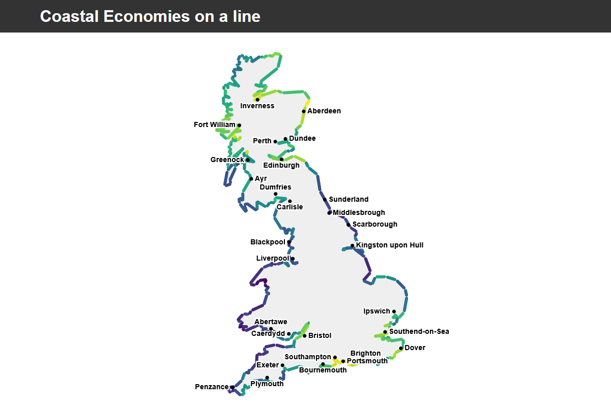
The most innovative map enables a range of economic data to presented on a standard map but then switched to a view representing the entire coastline as a a single line. - click on the map for an interactive version.
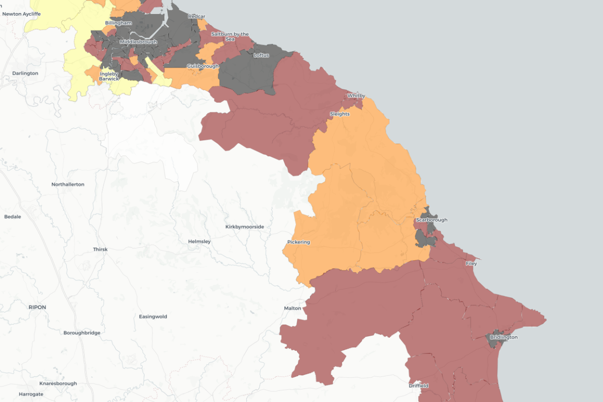
The darker areas have lower incomes than the lighter areas. The map shows that while large swathes of the English coastline, including Scarborough, Whitby, Filey and Bridlington are relatively poor, Scotland's coastline is relatively wealthy. The same map for France shows almost the entire coastline to be wealthy.
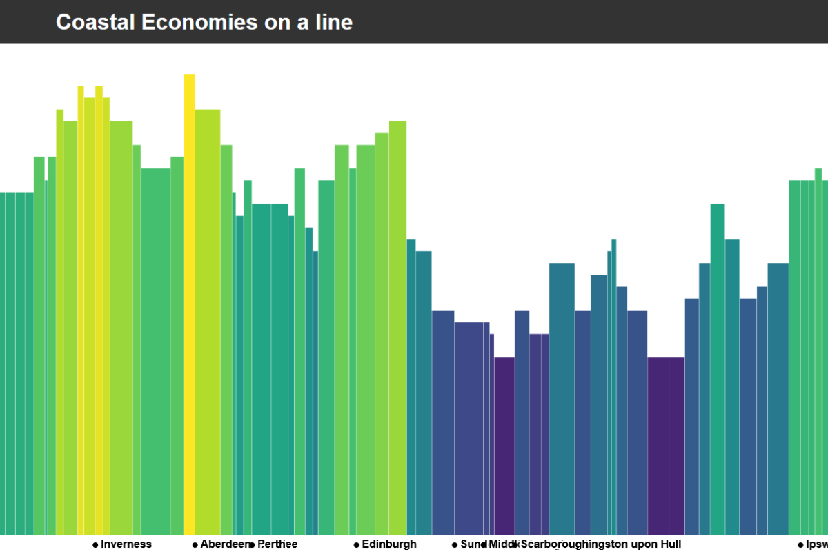
This map shows the income levels in coastal communities with darker colours representing lower income - click on the map for an interactive version.
The study has been funded by the UK Major Ports Group, Tim Morris is their CEO and says the data raises a number of questions which need to be addressed.
UKMPG say they hope the study will lead to more informed discussions about coastal economies.
"This year we have been working in partnership with ODI Leeds, looking to find, share and use more data about coastal areas. How is the coast defined? Is the coast poor? Do their economic ecosystems rely too heavily on tourism, heritage and fishing? Are coastal economies ultimately underplayed by government and misrepresented through data?
The lack of understanding and knowledge towards coastal communities caused ODI Leeds and UKMPG to come together to look at our shorelines and start collecting data to help towards answering these questions.
By commencing this project ODI Leeds and UKMPG have opened up the conversation about coastal economies - particularly how policy interventions can be focused and meaningful - using detailed and more specific data. The project aims to explore the current state of data in relation to coastal areas, and advocates for the publishing of more open data, looking to create ways of visualising these complex areas to help others better understand the needs of these communities."
The team behind the map say they hope to make more data types available on the map which could include things like average house prices. They also hope that other people will be able to make use of the open source tool to plot their own datasets.

 New Exhibition Explores The Nostalgic History Of Scarborough's Mr. Marvel's Amusement Park
 Approval Granted For New 24-Hour Gym And Greggs In Scarborough
 Scarborough's Alpamare Waterpark Could Have New Owner by Autumn
 RNLI Launches Float To Live Campaign Ahead Of Busy Summer
 RNLI Lifeguards Return to Redcar and Saltburn Beaches for the Summer Season
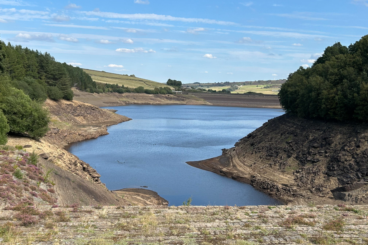 Yorkshire Water Reservoirs In Healthy Position Ahead Of Warm Bank Holiday Weekend
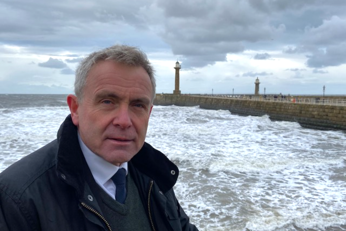 Mixed Reactions To Sir Robert Goodwill's Appointment As Yorkshire Bathing Water Partnership Chair
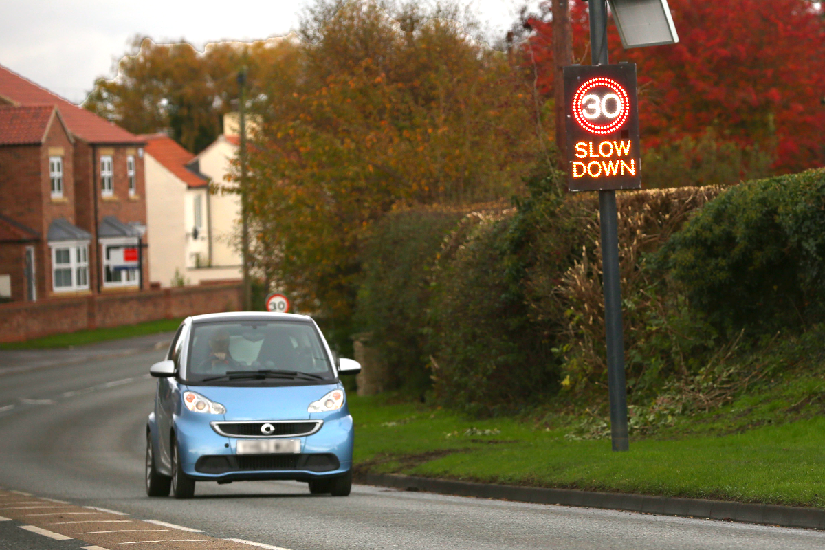 Smiley and Sad Face Speed Signs Set to Remain Banned in North Yorkshire
 No Date For Delayed Opening Of Scarborough NHS Diagnostics Centre
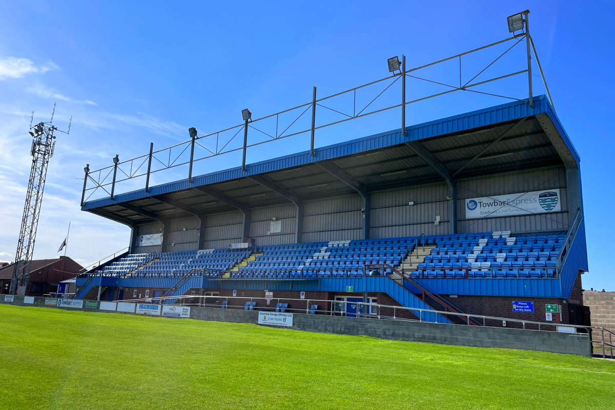 Whitby Town Sign Promising Defender Stan Hewitt Following Bridlington Town Departure
 New Owner Sought For Scarborough's Alpamare Water Park
 No Redundancies Expected As Bridlington Care Unit Staff To Be Redeployed Across Local NHS


Comments
Add a comment