


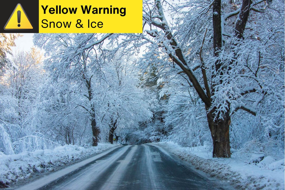
Residents across North Yorkshire and the East Riding of Yorkshire are being urged to prepare for a weekend of hazardous travel and freezing temperatures as the Met Office issues a series of yellow weather warnings.
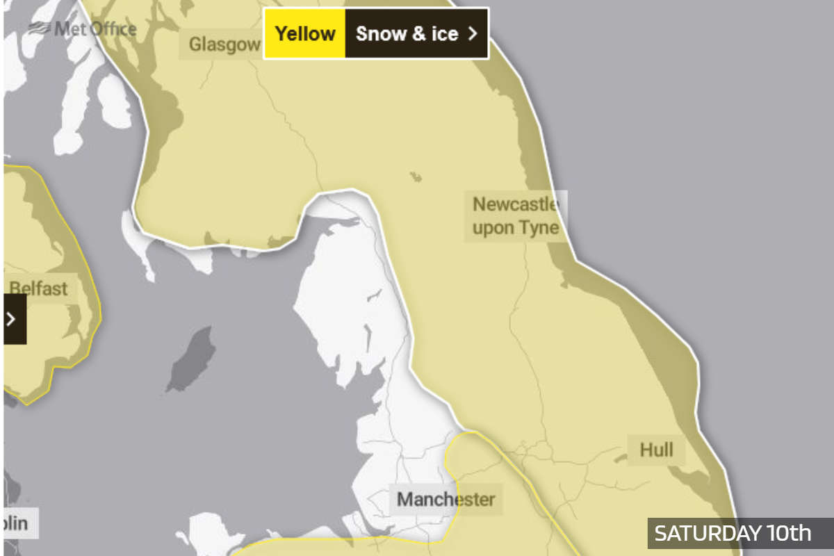
The first alert, a yellow warning for snow and ice, remains in place until Saturday afternoon, with the Met Office stating that "scattered wintry showers will continue to feed inland from the North Sea through Friday afternoon". While the impact is expected to be varied, the organisation warns that ice will be a "more widespread hazard," particularly during the overnight hours as temperatures drop below freezing away from the immediate coast.
For those living on higher ground in North Yorkshire, the situation may be more pronounced. The Met Office predicts that hills above 100 metres could see snow accumulations of 2 to 5 cm. A separate warning for ice also covers the region until midday Saturday, as the organisation highlights the risk of "partially thawed snow refreezing" alongside patches of "freezing fog".
Travel and Safety Concerns The weather experts have raised concerns regarding the potential for "some injuries from slips and falls on icy surfaces" and the presence of icy patches on "untreated roads, pavements and cycle paths". To mitigate these risks, the Met Office suggests that those who must travel on foot should "try to use pavements along main roads which are likely to be less slippery".
Drivers are also being encouraged to take precautions. The Met Office advises motorists to:
- Plan routes in advance and allow extra time for journeys to avoid the need to rush.
- Check road conditions and public transport timetables for potential closures or delays.
- "Prepare a winter kit for your car," including items such as warm clothing, food, water, a blanket, and a torch.
The wintry spell is set to continue into Sunday, with a further yellow warning for snow and ice issued for North Yorkshire between 02:00 and 15:00. The Met Office warns that a "band of snow" moving across the area could lead to further travel delays and the potential for power cuts, which may affect mobile phone coverage.
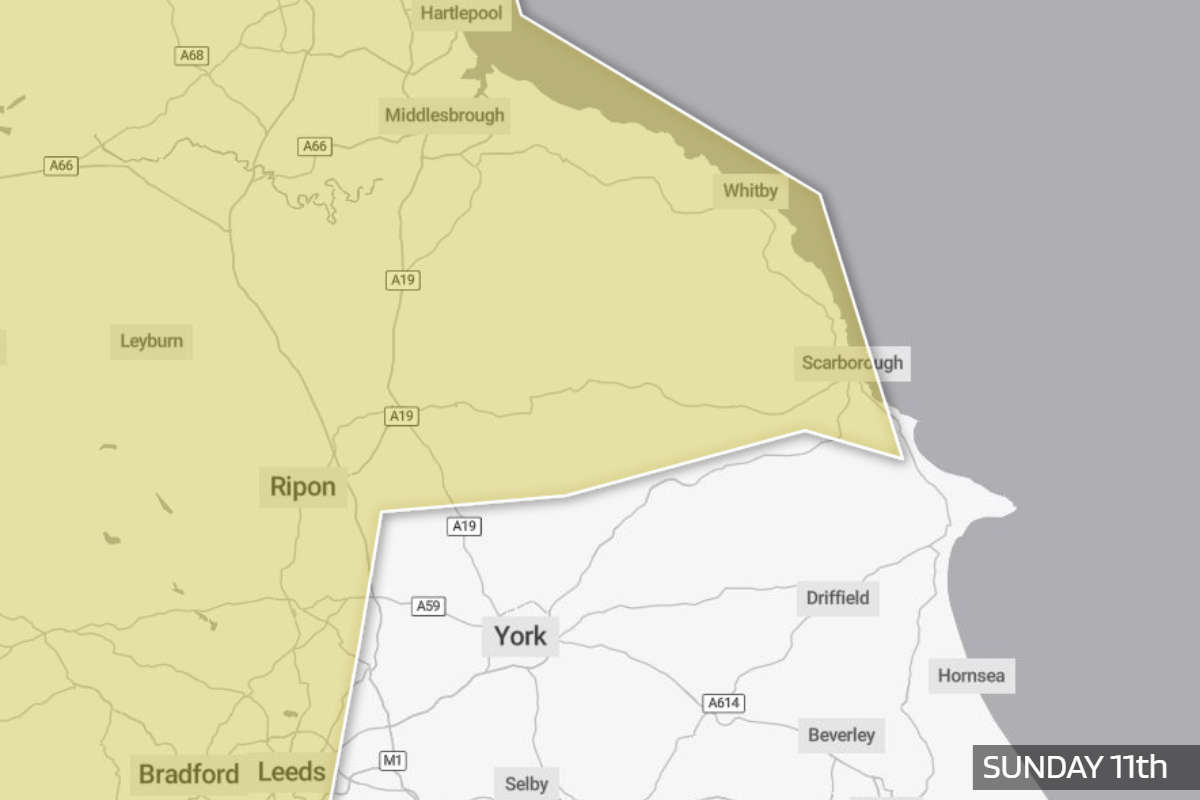
According to the Met Office, this Sunday band of snow will likely be confined to ground above 200 metres in northern England, but could bring 10 to 20 cm of snow to higher elevations. Strong winds are also expected to cause "drifting of the snow," adding to the "widely icy conditions".
The organisation notes that people generally "cope better with power cuts when they have prepared for them in advance" and suggests gathering essential items like torches and mobile power packs. As conditions remain unpredictable, the Met Office recommends that residents in North Yorkshire and the East Riding of Yorkshire stay up to date with the latest local forecasts, as warnings can "change quickly".

 Scarborough's Alpamare Waterpark Could be Sold
 Coastal Fairness at Stake: Councillor Warns of "Two-Tier System" Over Public Toilet Charges
 Continued Rise in 12-Hour Trolley Waits at York and Scarborough NHS Trust
 Whitby Shop Expansion Plan Met with Spate of Objections
 Dogs and Owner Rescued by Hornsea Inshore Rescue Team
 East Riding Bin Lorries Become Mobile Defibrillators
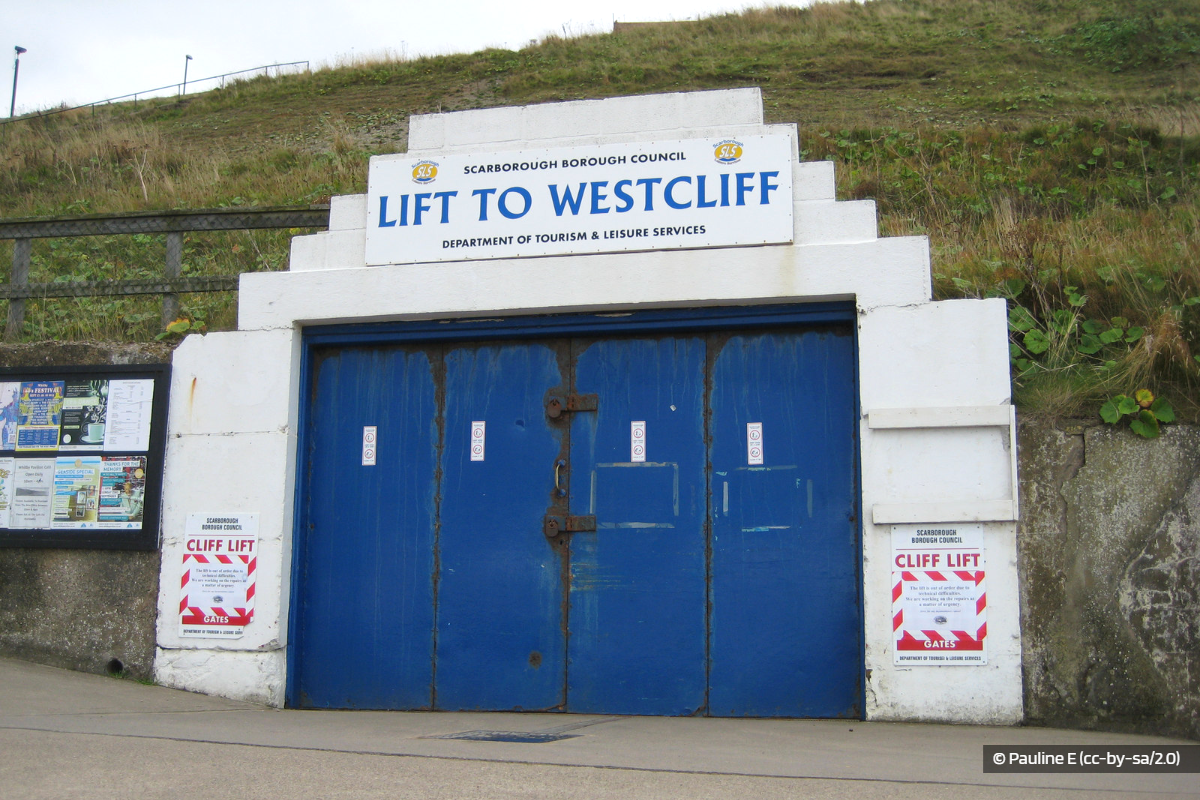 MP Joins Calls to Save Historic Whitby Cliff Lift
 Bridlington Town Book East Riding Senior Cup Final Spot
 Scarborough Athletic Denied After Spot-Kick Controversy
 Whitby Town's New Management Duo Win First Match
 CCTV Upgrade proposed for Scarborough Railway Station
 Concerns Over Scarborough, Whitby and Filey Harbour Strategy


Comments
Add a comment