

Several centimetres of snow could settle on the North York Moors, with all of us seeing showers turn increasingly to snow.
The Met Office have issued a Yellow Weather Warning for ICE for the whole Yorkshire Coast, valid from 6:00pm today until 12:00pm tomorrow:
Frequent wintry showers running down the east coast are likely to fall on frozen surfaces in places, leading to the formation of icy patches. These showers are likely to fall as snow on high ground, with the potential for a few centimetres to accumulate on the North York Moors.
Jo Farrow, a Forecaster from NetWeather, told Paddy at Breakfast that we can all expect some snow in the next few days, especially tonight and Thursday night:
Jo also says we can expect sub zero temperatures at night and temperatures barely above freezing by day:
But how long will the cold snap last? Jo thinks it's here to stay for the rest of the week and into next week too:
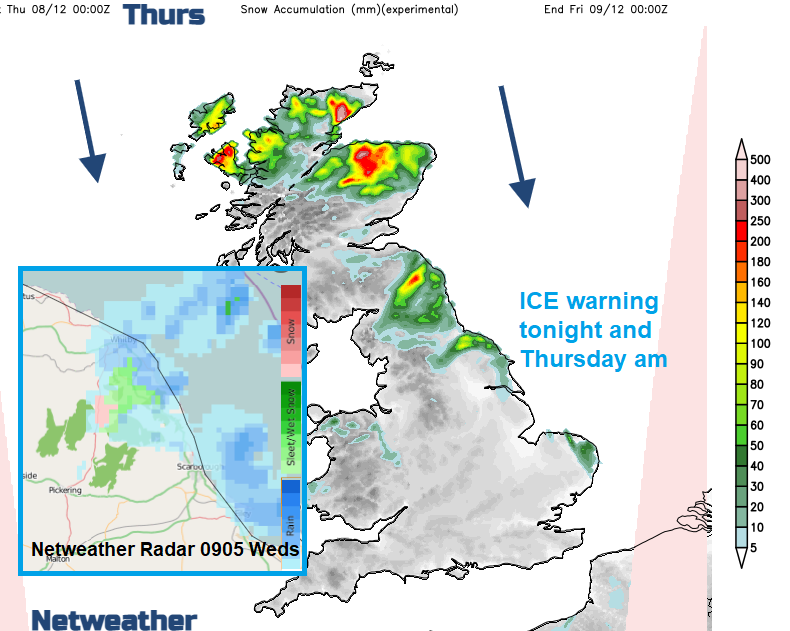
Jo also shared this latest radar image and snow levels forecast:
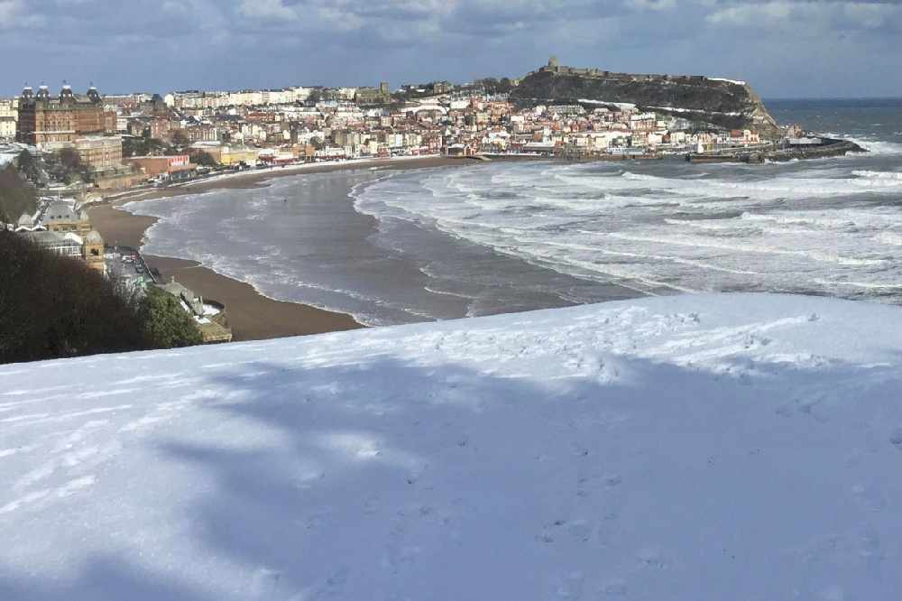
The Yorkshire Coast could see scenes like this at times this week:


 Train Services Suspended As Large Crop Fire Blocks Railway Line Near Filey
 Human Artists To Be Prioritised For Future Commissions Following Scarborough AI Backlash
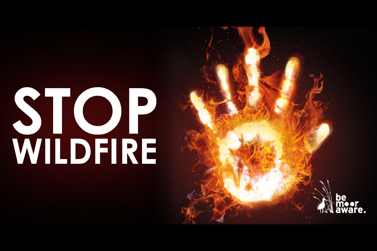 Yorkshire Fire Services Unite To Prevent Devastating Summer Wildfires
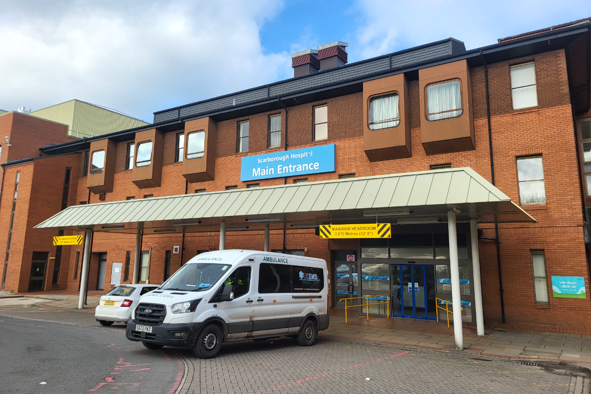 Scarborough And Bridlington Hospitals Face 'Unprecedented' Financial Challenge
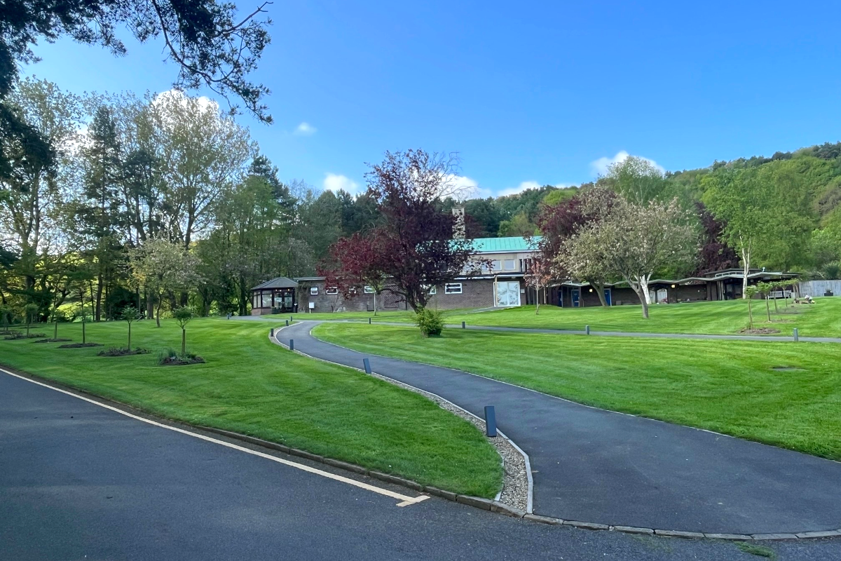 £2.5 Million Upgrade Plan for Scarborough Cremation Services
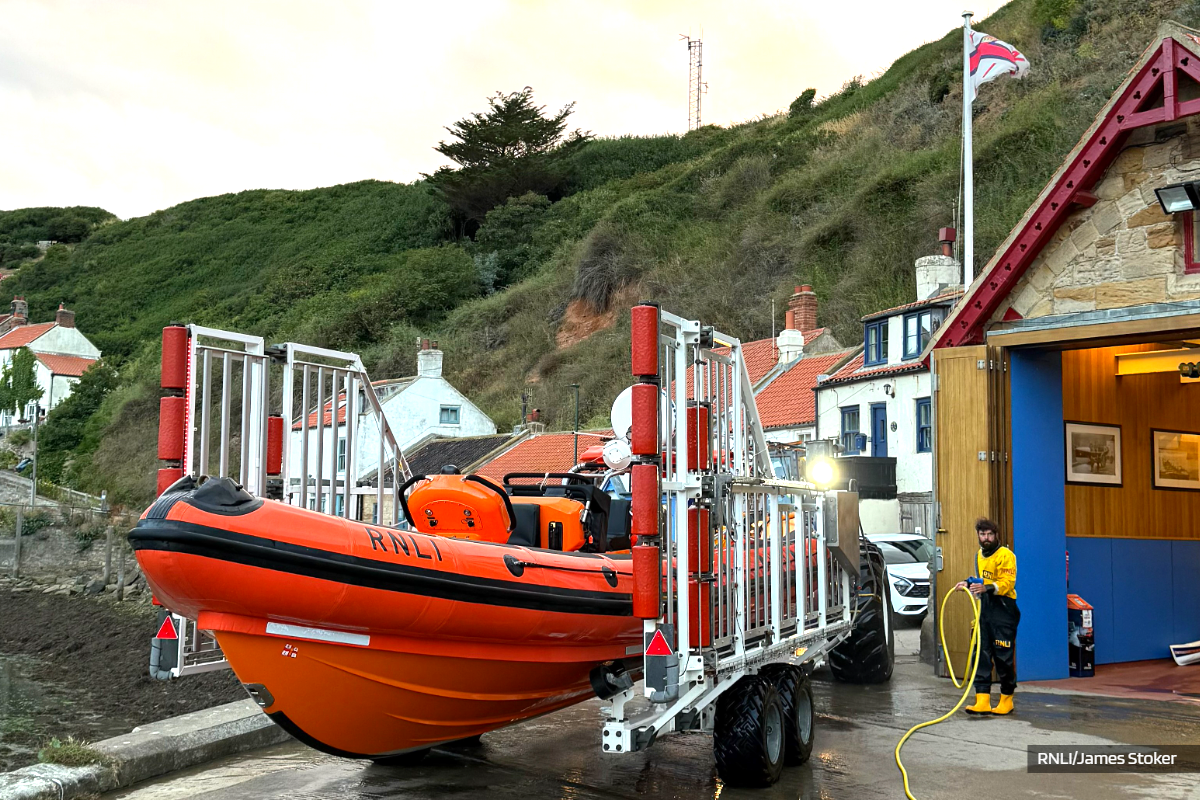 Extensive Sea Search Prompted By Reports Of Struggling Paddleboarder Near Port Mulgrave
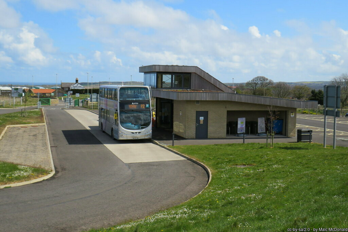 'Park And Ride Service Is Putting Pedestrians In Danger', Says Whitby Councillor
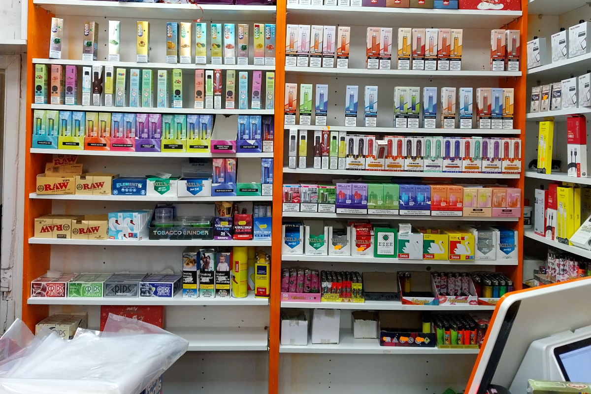 Scarborough Shop Owner Ordered to Pay Over £3,300 for Illegal Tobacco and Vapes
 Major Restoration Programme Begins On Fire-Ravaged Fylingdales Moor
 Scarborough Athletic Seek Bumper Crowd For Tigers Test
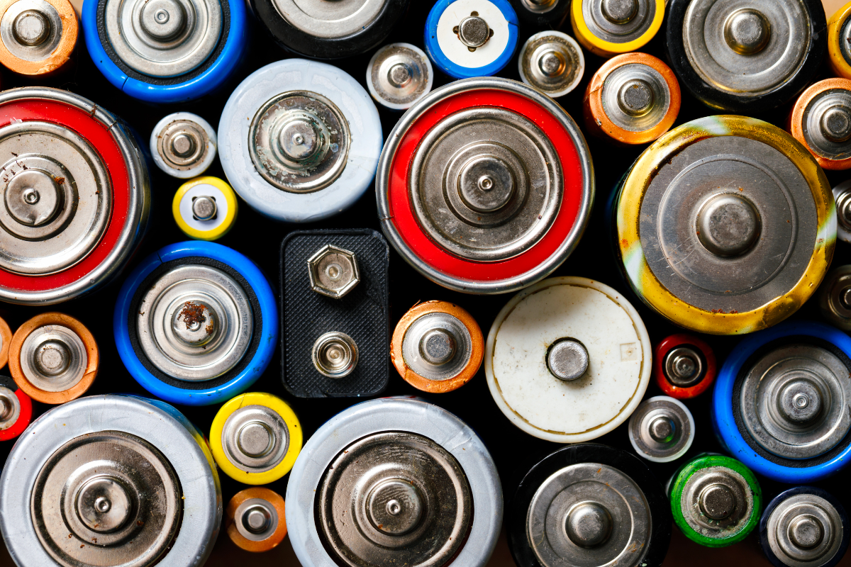 Hidden Batteries Spark Dangerous Fires Inside Yorkshire Bin Wagons
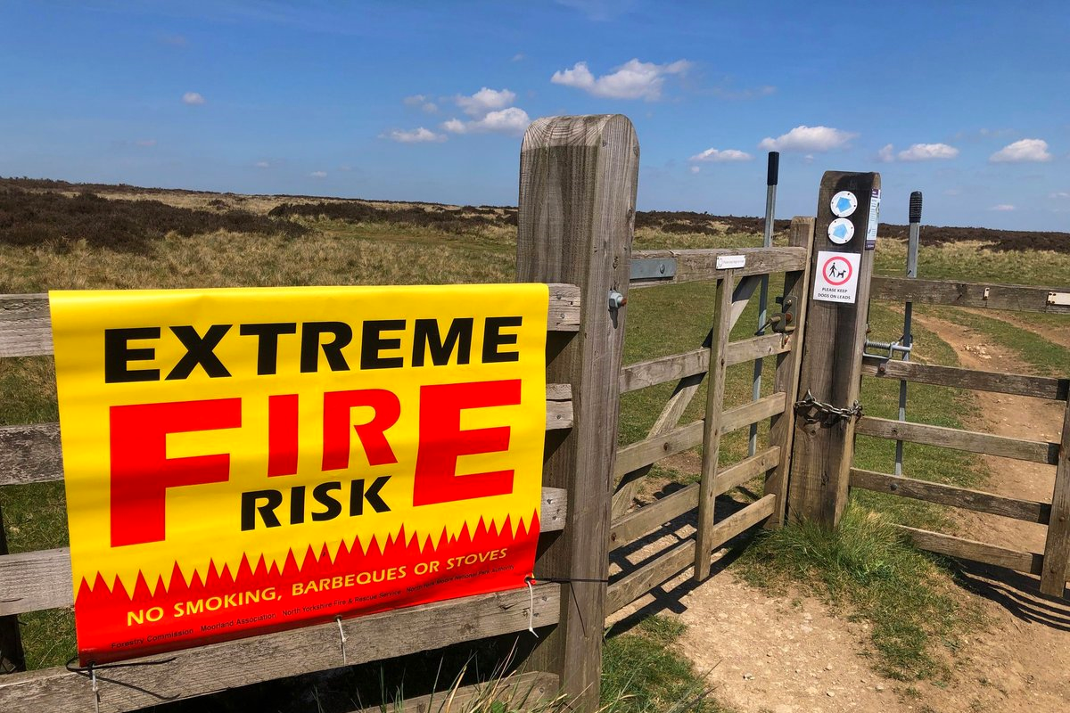 North Yorkshire Blaze Risk: Disposable Barbecues Face Potential Ban


Comments
Add a comment