


The Met Office Weather Warning is in force from midnight tomorrow night, until midday on Wednesday.
Snow is likely to settle on high ground, but amounts will be small.
At lower levels it's more likely to be sleet or wet snow.
Afterwards, surfaces are expected to become icey.
Here's the Met Office Weather Warning:
A band of sleet and snow is likely to continue to push across this area and towards the southeast during the first part of Wednesday. This could bring 1-2 cm of snow over the hills in the region, with a small chance of around 5 cm falling in one or two upland areas.
At lower elevations sleet or very wet snow is likely, but no settling of snow is expected.
As this band of sleet and snow clears to the southeast, temperatures will fall below freezing leading to widespread ice developing.
Snow showers arrived on the Yorkshire Coast overnight with this the scene on Scarborough's South Cliff this morning:

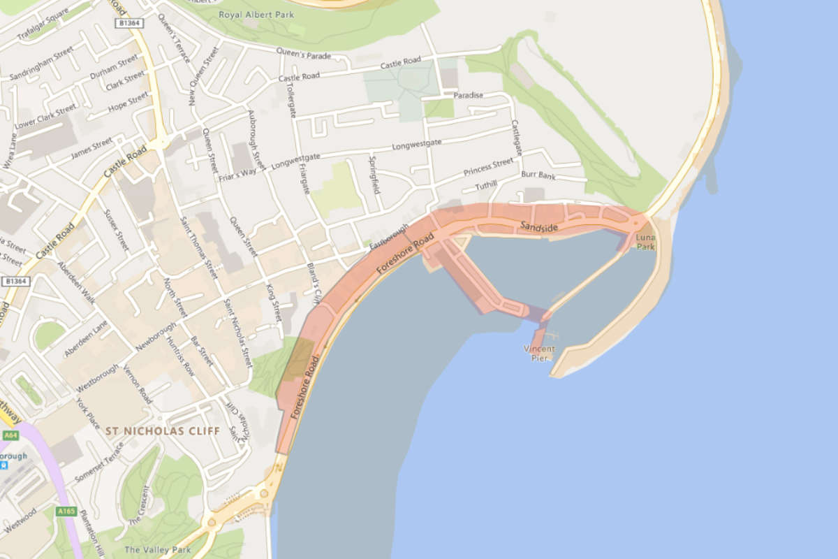 Flood Warnings Issued For Scarborough's Sandside & Foreshore Road
 East Riding Council Facing "Tough Decisions" as New Operating Model Signals Looming Redundancies
 Location for Scarborough's 400th Anniversary Sculpture Confirmed
 New Chief Exec for Yorkshire Air Ambulance
 Scarborough and Whitby MP Presses for Burniston Fracking Decision to be Delayed
 Pickering and Filey MP Criticises Government for ‘Unfair’ Rural Funding Settlement
 East Riding to Introduce Weekly Food Waste Collections Amid Long-Term Funding Fears
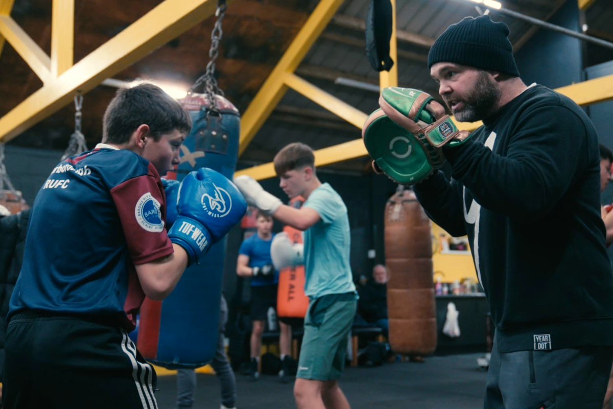 Eastfield Boxing Club Film to Get Scarborough Premiere
 Scarborough Athletic Stunned By Minnows in Senior Cup
 Whitby Town Again Hit By Second Half Slaughter
 Scarborough Café and Flat Plans Opposed by Town Councillors
 Bridlington Town Beaten Again Despite Improved Showing


Comments
Add a comment