


North Yorkshire Council has applied for a £75,000 government grant to use LiDAR-equipped drones to monitor the region's rapidly eroding coastal cliffs.
Drones could be deployed on the North Yorkshire coast to monitor coastal erosion as part of a Government-funded scheme.
The drones, which would have laser mapping technology, could be deployed across complex coastal cliff zones in North Yorkshire if a council’s application for funding is approved.
The £75,000 funding application has been submitted to the Environment Agency to deliver an enhanced coastal monitoring project across priority, complex cliff adaptation sites by North Yorkshire Council.
At a meeting on Thursday, June 25, Cllr Malcolm Taylor, the executive member for highways and transportation, signed off on the application to the EA’s £12 million coastal adaptation programme.
Currently, NYC relies on biennial drone monitoring but this is supplied through the National Network of Regional Coastal Monitoring Programmes and the data is often limited in complex cliff environments due to vegetation cover, infrequent capture and delays between data collection and delivery.
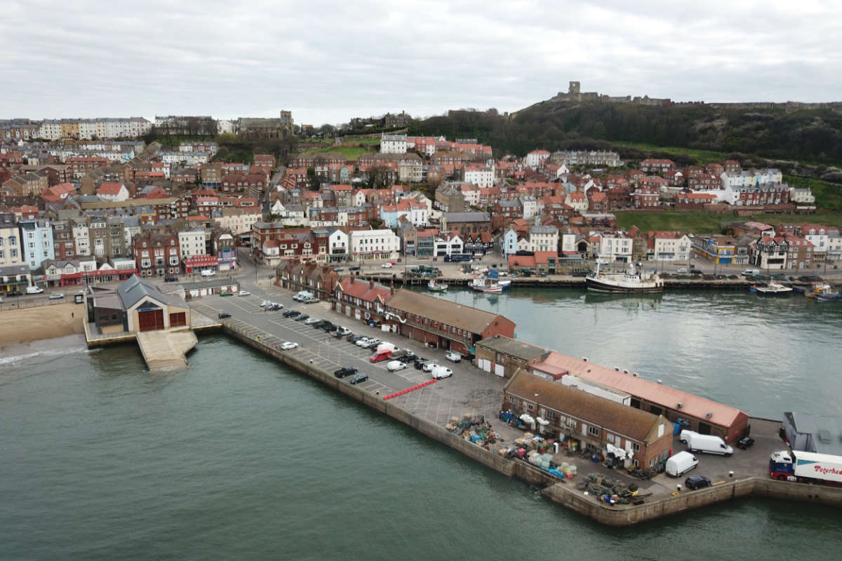
North Yorkshire has some of the fastest eroding coastline in Europe and several communities, including those at Flat Cliffs in Filey, are facing “significant risk to residential property, access routes and essential infrastructure”.
If approved, the funding will be used to train three officers and to procure a professional LiDAR-enabled drone and associated software, training and licensing, specialist data and processing and analysis.
The scheme would allow more frequent and efficient data capture and provide “better monitoring of vegetated and landslide-prone complex cliffs and enable faster processing and analysis to support effective risk management and community engagement”.
The council’s shoreline management policy for the affected coastal sites is one of “no active intervention, meaning no new coastal defences are planned”.
Officers noted:
As a result, effective monitoring of cliff instability and erosion is essential to inform adaptation planning, early warning, evacuation planning and community engagement.
A report added:
The project will support North Yorkshire Council in improving the evidence base for coastal adaptation planning, evacuation planning and coastal strategy updates, strengthening communication of coastal erosion risk to communities living within complex cliff zones.

 Scarborough And Whitby MP Raises 'Dental Desert' Crisis In Parliament
 Ten New Automatic Speed Cameras To Be Installed Across East Riding This Summer
 Town Meeting To Discuss £15m Scarborough Harbour Redevelopment
 Saint Catherine’s Activities Coordinator Shortlisted For National Palliative Care Award
 Date Set for Scarborough Town Council By-Election Following Reform Mayoress Resignation
 New Highways Treatments Introduced in North Yorkshire Amid Major Funding Shortfall
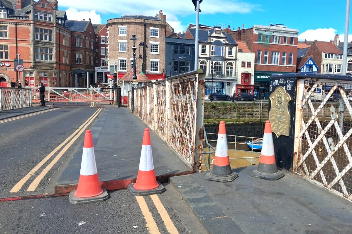 Urgent Works To Try To Solve Issues With Whitby Swing Bridge
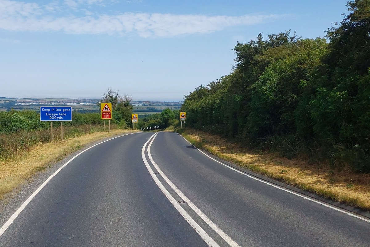 Daytime Road Closures Announced For Staxton Hill On The 6th & 7th July
 North Yorkshire Fire Service To Get Dedicated Drones Following Fylingdales Wildfire Report
 Audit Reveals Scarborough Mayor Claimed Just £39 Of Controversial £3,500 Allowance
 Scarborough Town Council Objects To Proposed Overnight Visitor Levy
 New Book Chronicles Scarborough Athletic's Season In Exile