


The Met Office says we can expect SNOW to hit the Yorkshire Coast from Monday next week, as arctic air sinks south across the country.
The Cold Weather Alert reads:
High pressure is expected to become displaced towards Greenland with a cold north to north-easterly airflow becoming established across the whole of the UK during next week. There is the potential for some wintry hazards from frequent snow showers or prolonged spells of snow in places, with low pressure near the North Sea, with impacts more likely across windward coasts in the north and east. Atlantic frontal systems may push into the south and southwest at times, more likely from mid-week, which may bring the threat of disruptive snow - low confidence at this stage.
The Met Office's Deputy Chief Meteorologist, Chris Almond, said:
Although we’ve moved into meteorological Spring there will be a distinctly wintry feel to our weather next week. Very cold air will spread across the UK bringing snow showers even to sea level in the north on Monday and these snow showers could spread further south on Tuesday. With freezing overnight temperatures and the risk of ice it is likely weather warnings will be issued for Monday and Tuesday once the detail of potential impacts becomes clearer, so keep an eye on the Met Office forecast.”

 Scarborough Remembers Covid Dead on National Day Of Remembrance
 Global Talent Heads for the Coast as Scarborough Streets Prepares to Shine
 Scarborough Athletic Roar Into Top Five After Second Half Show
 Whitby Town Lead Twice But Held in West Midlands
 Bridlington Town Run Ends After Thriller
 Mixed Results As Yorkshire Coast Duo Go For Titles
 Pickering Town Suffer Shock Loss At Strugglers
 Scarborough Athletic Secure Another Hull City Loanee
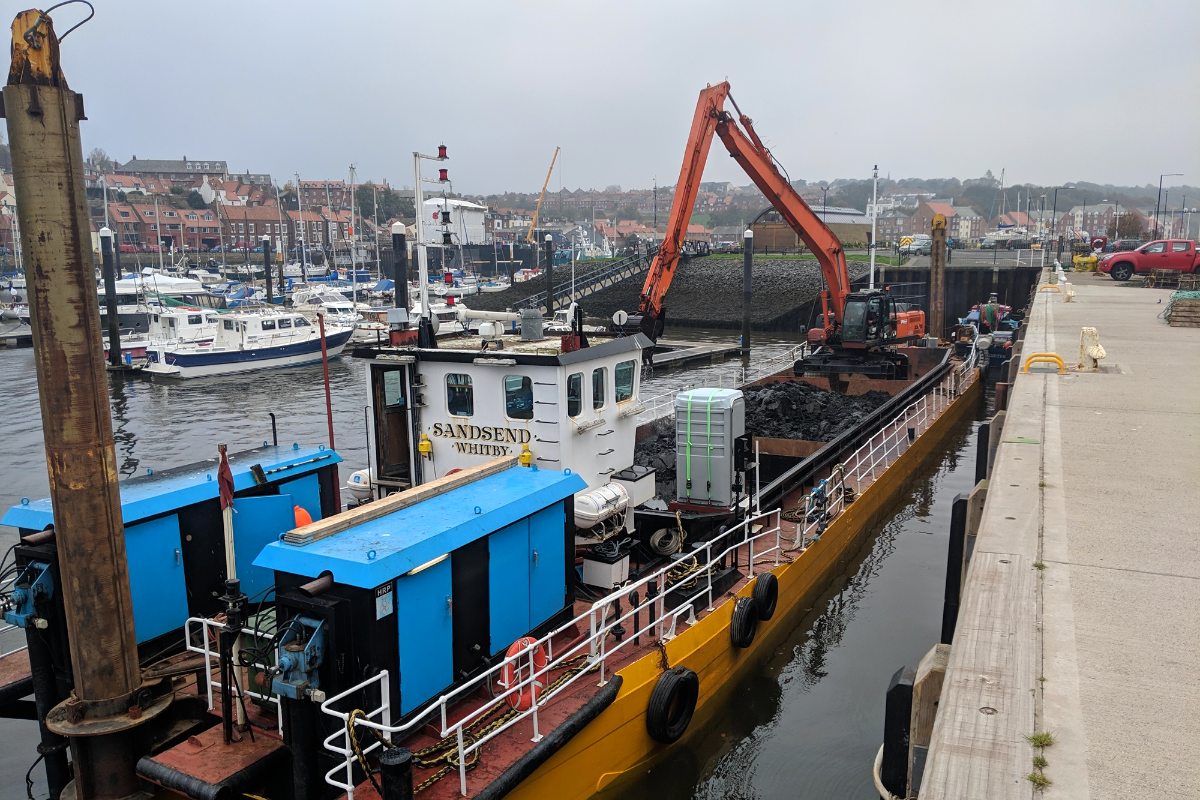 Dredging Boost for Whitby and Scarborough Harbours as Restrictions Relaxed
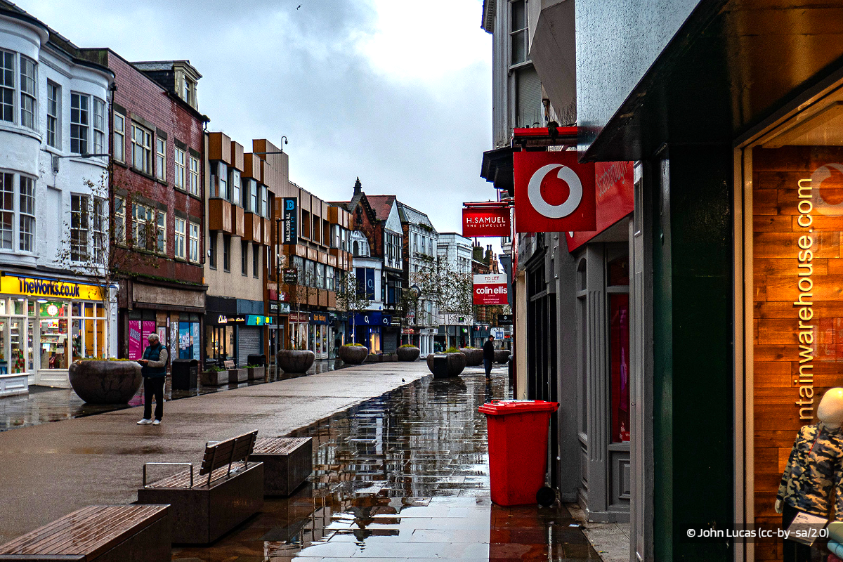 Scarborough MP: New and Exciting Things Opening Up
 Operation Scooter Targets Moped and Motorcycle Theft in Eastfield and Filey
 Challenges for North Yorkshire Moors Railway as Historic Bridge Repairs Hit Complications


Comments
Add a comment