


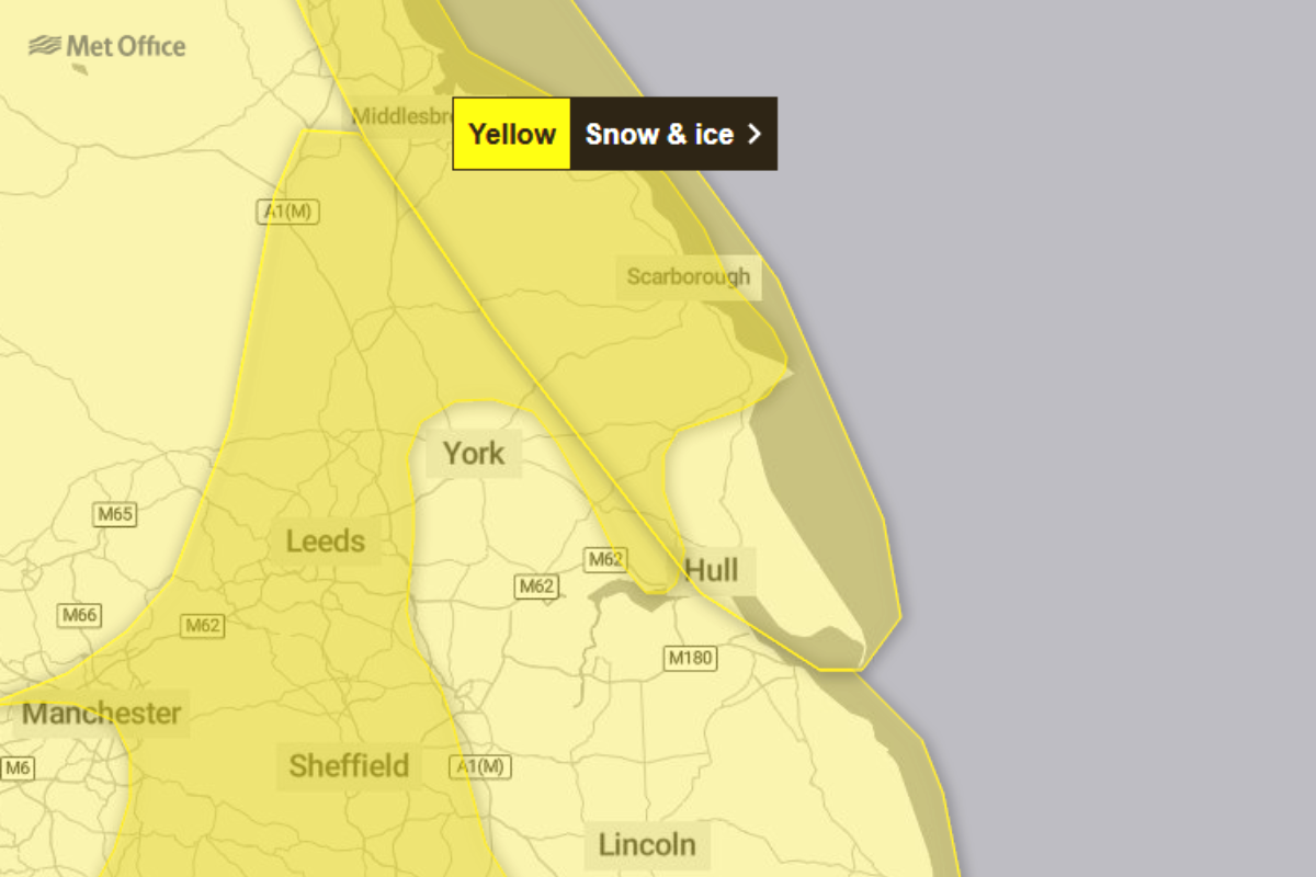
Residents across North Yorkshire and the East Riding of Yorkshire are being urged to take extra care this weekend as the Met Office issues a series of yellow weather warnings for snow and ice.
The alerts, which cover the coastal regions and inland areas, suggest a significant shift to wintry conditions that could disrupt travel and daily routines.
The first wave of wintry weather is expected to take hold on Friday evening. According to the Met Office, showers of snow and hail may lead to accumulations of 1 to 3 cm in some places, while coastal areas are more likely to see sleet. As temperatures drop below freezing overnight, the organization warns that "sleet is more likely along some coasts, leading to ice on untreated surfaces".
A yellow warning for ice remains in place until 10:00 on Saturday morning, with the Met Office predicting that rain and sleet will clear southwards, leaving behind sub-zero temperatures. Officials have highlighted the human impact of these conditions, noting that "some injuries from slips and falls on icy surfaces" are likely, alongside icy patches on pavements and cycle paths.
For those planning to travel or head out for the weekend, the Met Office provides the following safety advice:
- Plan ahead: Leave the house at least five minutes earlier than usual to avoid rushing, which reduces the risk of accidents.
- Stick to main routes: When walking or cycling, use pavements and roads that are more likely to have been treated with salt.
- Vehicle preparation: Drivers should carry a winter kit including warm clothing, food, water, and a blanket.
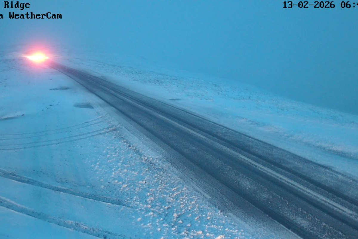
The respite on Saturday may be brief. A further yellow warning for snow and ice has been issued from 21:00 on Saturday through to 10:00 on Sunday morning. The Met Office states that outbreaks of rain spreading eastwards will initially fall as snow, even at low levels, before milder air arrives. While low-lying coastal areas may see 1–3 cm of snow, higher ground could experience up to 15 cm.
The Met Office notes that "snowy, wintry weather can cause delays and make driving conditions dangerous". They recommend that residents in North Yorkshire and the East Riding of Yorkshire stay updated with the latest forecasts, as weather warnings can change quickly. By Sunday morning, the snow is expected to turn to rain, leading to a "steady thaw of lying snow".

 SNOW Hits The North York Moors & Yorkshire Wolds
 Scarborough and Whitby Harbour Decision Plays in to Council Budget Woes
 Celebrating 10 Years Of Youth Disability Football in Scarborough
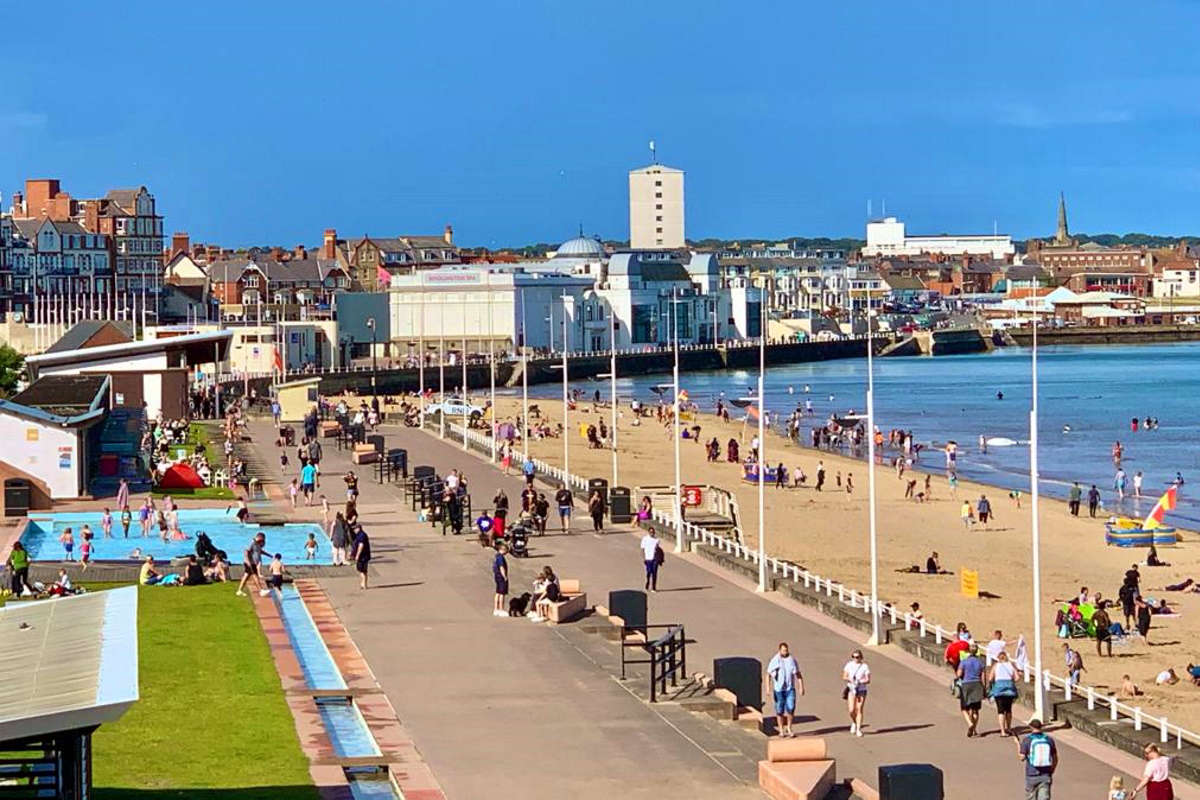
 Last Chance for Scarborough Residents to Shape £20 Million Investment
 Yorkshire Wolds Area of Outstanding Natural Beauty Plans Progress
 Pickering Town Face Friday Night Challenge
 Whitby Hotel's Pink Paint Paperwork Mix Up
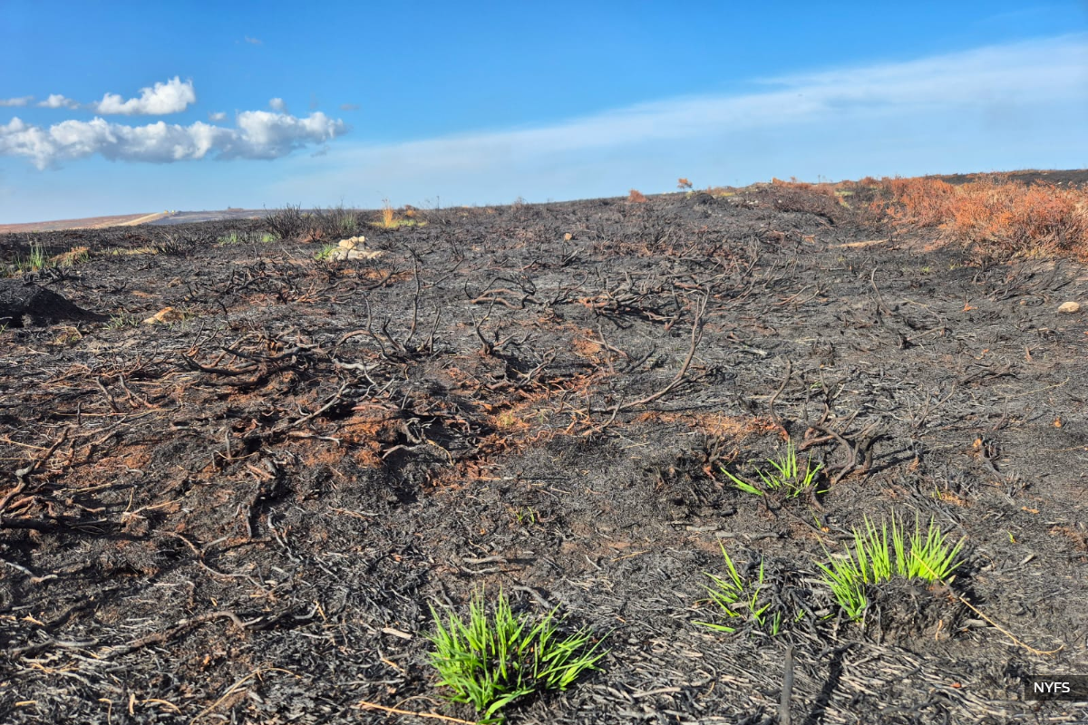 North Yorkshire Leaders Call for Fairer Fire Funding Following Major Moorland Blaze
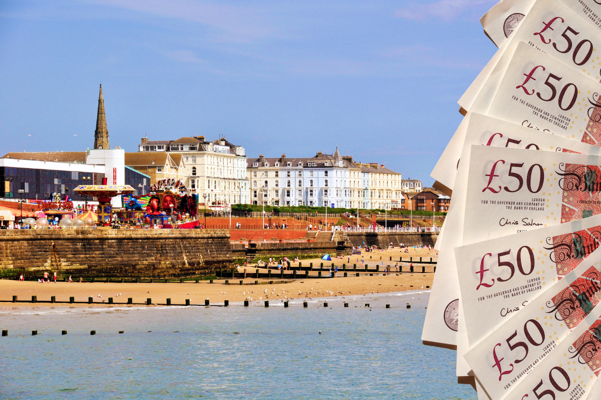 East Riding Leaders Slam "Unfair" Funding Settlement as Residents Face Council Tax Hike
 Voices of Ukraine Set For Scarborough Library Performance
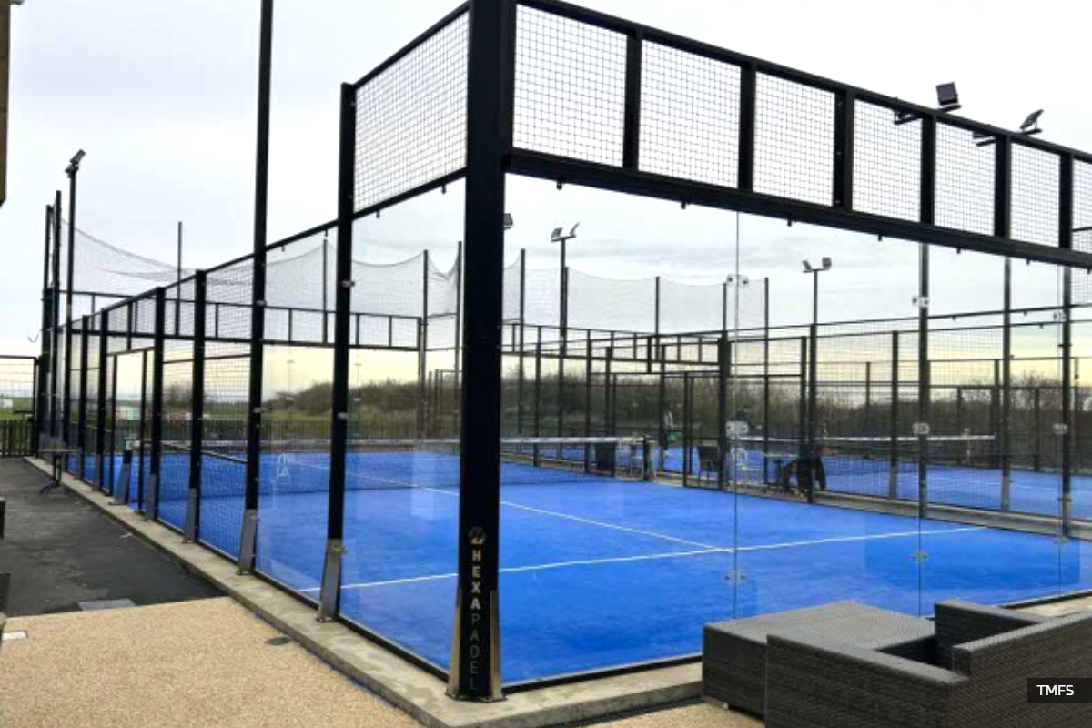 Padel Court Plan for Cayton
 New Murals Coming to Bridlington


Comments
Add a comment