


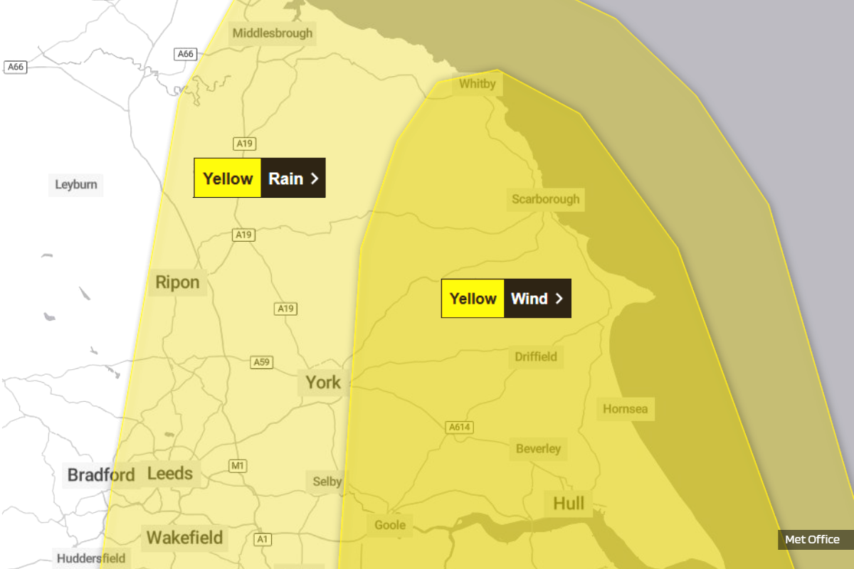
The Met Office has issued two separate Yellow weather warnings covering large parts of the Yorkshire region, cautioning residents and visitors along the coast about the risk of heavy rain and strong winds throughout Thursday.
The warnings affect key areas within the region, including North Yorkshire and the East Riding of Yorkshire.
Heavy Rainfall Expected
The first warning, covering rain, is active from midnight until 21:00 on Thursday. The Met Office has warned of heavy rainfall associated with a complex area of low pressure tracking toward the UK. Although confidence regarding the low pressure system's exact path and intensity remains "fairly low," weather experts anticipate "an extensive, and in places heavy swathe of rain" spreading quickly northeast.
Forecasters suggest that rainfall totals could widely reach 20–30mm, with some places potentially receiving 30–50mm by early Thursday morning.
Consequences of the rain are likely to include difficult driving conditions due to spray and flooding on roads, increasing the chance of accidents and leading to longer journey times. Public transport services are also likely to be affected. Furthermore, the Met Office states that "Flooding of a few homes and businesses is likely".
Coastal Wind Threat
A separate Yellow warning for wind has been issued, running from 09:00 until 23:59 on Thursday. This warning specifically highlights that strong winds could "cause travel disruption and some damage across eastern England" during the day.
Meteorologists predict that a deepening area of low pressure clearing from the east coast will trigger "very strong northwesterly winds". Gusts of wind are widely expected to reach 45–55 mph, with speeds of 65 mph possible near coasts. The Met Office noted "a smaller chance" that gusts of 65–75 mph could develop very locally for a time, most likely late morning and into the afternoon.
The impacts relating to the coastal regions covered by the warning are particularly concerning. There is "a small chance that injuries and danger to life could occur from large waves and beach material being thrown onto sea fronts, coastal roads and properties".
Further expected disruption includes a slight chance of some damage to buildings, such as tiles being blown from roofs. Delays or cancellations to road, rail, air, and ferry services are also possible. Additionally, there is a slight chance that power cuts may occur, potentially affecting essential services like mobile phone coverage.
Safety Recommendations
The Met Office has urged the public to take preparatory measures. For those residing near the coast, safety during stormy weather is paramount. The organisation advises being "aware of large waves" and warns that "Even from the shore large breaking waves can sweep you off your feet and out to sea".
For residents, checking for loose items outside the home—including bins, garden furniture, or sheds—and planning how to secure them is recommended.
Regarding travel, the advice is to check road conditions, bus, and train timetables, and amend travel plans if necessary to avoid delays. The Met Office also encourages preparation for potential power cuts by gathering necessary items such as torches, batteries, and mobile phone power packs.
Finally, the Met Office recommends that when a weather warning is issued, the public should stay "up to date with the weather forecast in your area" as warnings may change quickly.

 North Yorks Mayor Says “Quite a Low Bar” For Councillors To Say “Step Up To The Mark”
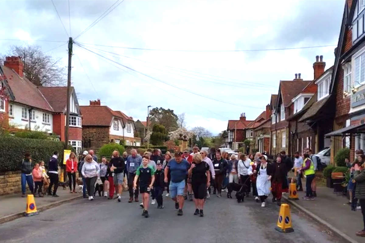 Scalby Easter Walk Returns to Raise Funds for Futureworks Charity
 Scarborough Athletic Call On Supporters To Be Twelfth Man Against Spennymoor Town
 Whitby Town Prepare For 'Absolute Battle' In Crucial Easter Monday Relegation Clash
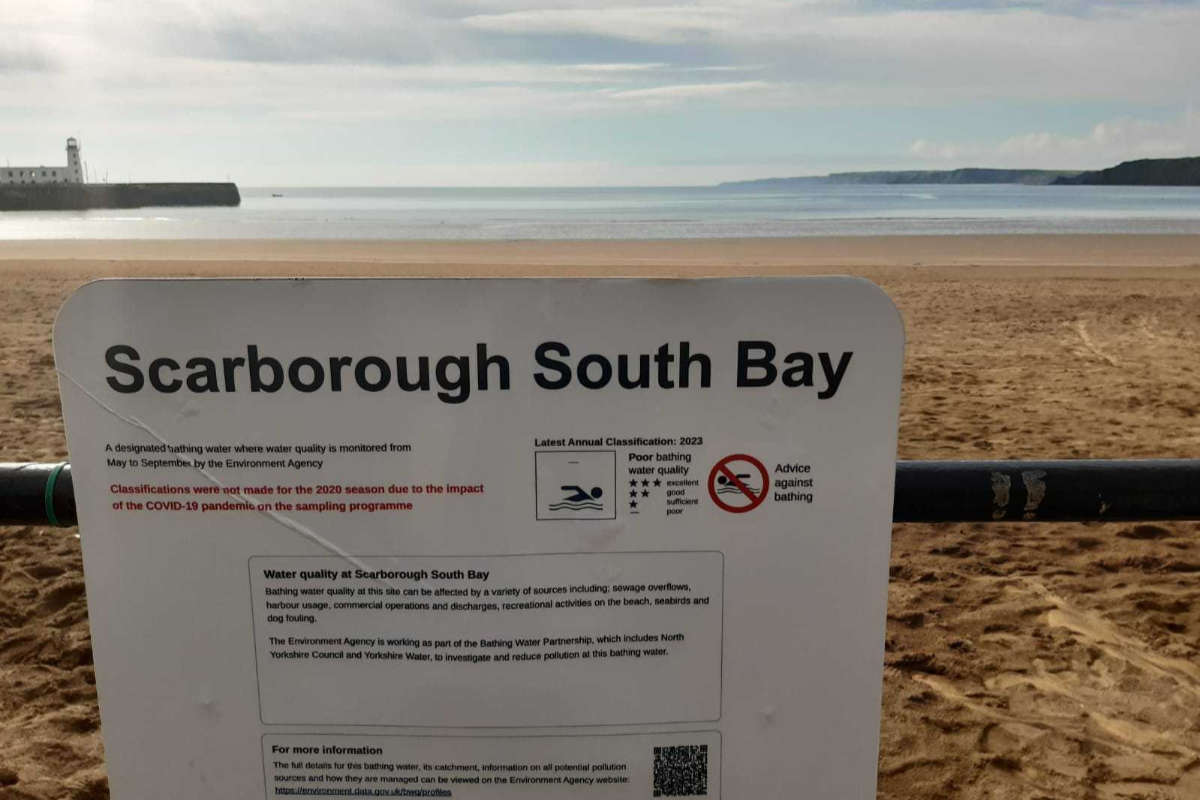 Scarborough Water: Councillors Clash Over Climate Change References
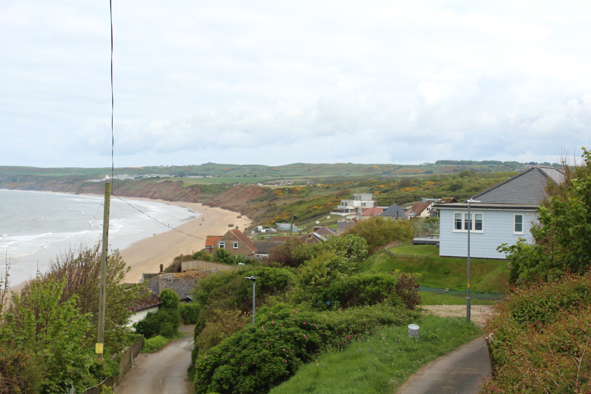 Bid Submitted For 8 Million North East Coast Project
 Investigation Underway After Man Seen Kicking Dog In Scarborough
 Town Council Decry Abandoned, Derelict and Unused Scarborough Allotments
 Bridlington Town Face Champions Elect
 Motorcyclist Sustains Life-Threatening Injuries Following Collision Near Driffield
 Whitby Town Launches Sponsor A Seat Plan
 Scarborough MP: "It’s up to the NHS Trust to improve the services”


Comments
Add a comment