


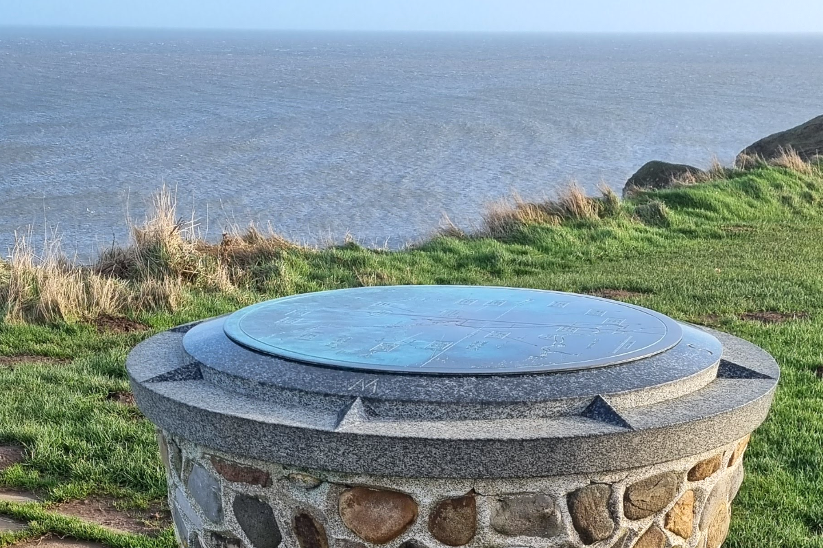
Tuesday sees the unveiling and rededication of the refurbished toposcope at Flamborough Head.
A toposcope is a graphic display erected at viewing points on hills, mountains or other high places and indicates the direction, and usually the distance, to notable landscape features which can be seen from that point.
The Flamborough Head toposcope points directly north and is just east of the Greenwich meridian line. It points the direction to the location of the Battle of Flamborough Head, which was the first attack on the UK mainland during the US War of Independence.
Several local dignitaries are taking part in the ceremony.
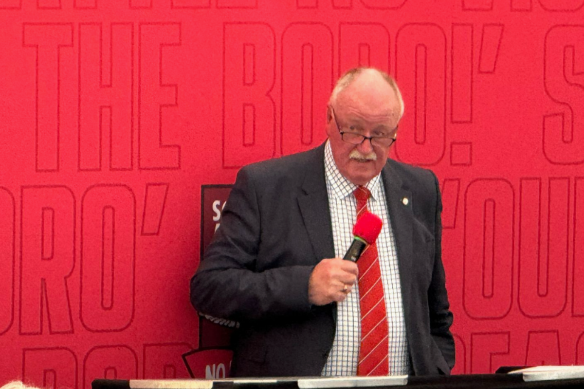
James Hodgson is co-founder of the Yorkshire Coast 1779 group.
He says today marks the start of the Battle of Flamborough Head back at the end of the 18th century:
" On Tuesday, which is the actual anniversary of the battle, the 246th anniversary of the battle, we, the Yorkshire Coast 1779 group unveiling a refurbished toposcope in Flamborough is situated between the chalk tower and the lighthouse, and we got grant funding from Yorkshire Coast BID to refurbish the toposcope.
And we have some guests of honour, deputy Lord, Lieutenant of East Yorkshire High Sheriff of East Yorkshire, mayor at East Riding of Yorkshire Council"
It will be unveiled by the Lord-Lieutenant of East Yorkshire, Jim Dick OBE, at 11.30am on Tuesday, 23 September, the anniversary of the battle. Other dignitaries who will be present include Michael Rice, High Sheriff of East Yorkshire, Charlie Dewhirst MP for Bridlington and the Wolds and Liam Dealtry, Chair of East Riding of Yorkshire Council.
The Battle of Flamborough Head was the first attack on the UK mainland during the US War of Independence.
James says the toposcope shows the routes taken by enemy ships during the battle- but what is a toposcope?
"A toposcope is a circular plaque, usually circular mounted on a stone plinth, and it's usually situated at an elevated viewpoint and indicates the direction and distance to various places and events. So in our case, our level circular. Plaque points to where the battle probably took place. It points towards Denmark where the merchant convoy sets sail.
"It points to LRE in France from where the French and American enemy squadron sets sail and sail down the east coast during which time they captured many small merchant ships on route."
The original toposcope was erected in 1959 with the support of Bridlington Corporation (as it was known then) and unveiled by Rear Admiral Robert W. Cavenagh of the US Navy. When local craftsmen Harold Dodgson and Tommy Freeman, assisted by Jack Cowling, built it there were no technical plans, just a few drawings showing what had to be achieved. The final aesthetics were left in the hands of these skilled craftsmen.
This time Flamborough local James Lowery of OAD Services created the drawings and local tradesman Wayne Silverwood rebuilt the toposcope making it more accessible. An information panel will also be installed to provide details about the battle when further funding is raised, and be a focal point for the planned “Yorkshire Coast 1779 Heritage Trail” from Bridlington to Scarborough.
Yorkshire Coast 1779 is a charitable group of volunteers established to raise awareness of the Battle of Flamborough Head, encouraging pride in local heritage and promoting tourism along the Yorkshire Coast.
The group received funding from Yorkshire Coast BID to refurbish the toposcope site and, thanks to the support of Yorkshire Coast Community Railway Partnership, a railway poster is designed and displayed annually at stations between Hull and Scarborough.

 Burniston Gas Well Plan Recommended for Approval Despite 1500 Objections
 East Riding Councillors Condemn ‘Punitive’ Government Funding Review as Council Faces £100 Million Shortfall
 Scarborough Athletic Chair Eyeing Playoffs
 East Riding Council Facing "Tough Decisions" as New Operating Model Signals Looming Redundancies
 Flood Warnings Issued For Scarborough's Sandside & Foreshore Road
 Location for Scarborough's 400th Anniversary Sculpture Confirmed
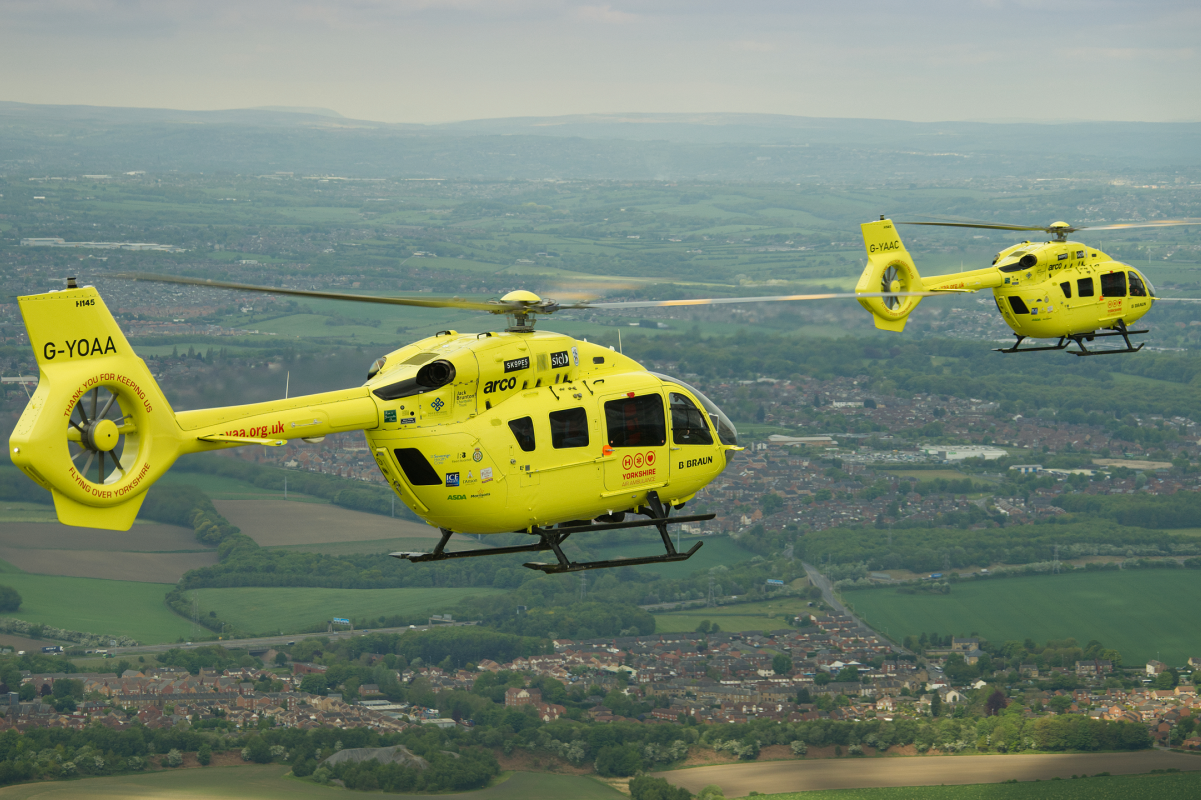 New Chief Exec for Yorkshire Air Ambulance
 Scarborough and Whitby MP Presses for Burniston Fracking Decision to be Delayed
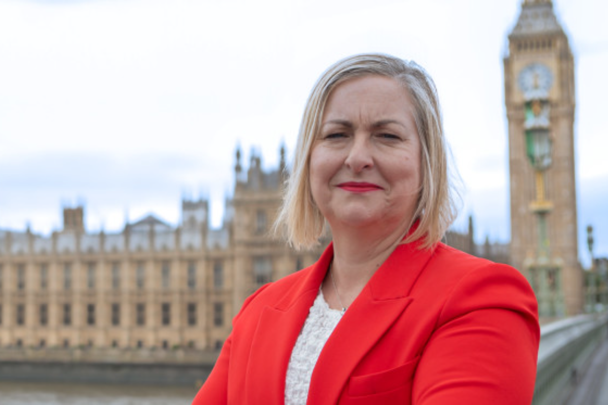
 Pickering and Filey MP Criticises Government for ‘Unfair’ Rural Funding Settlement
 East Riding to Introduce Weekly Food Waste Collections Amid Long-Term Funding Fears
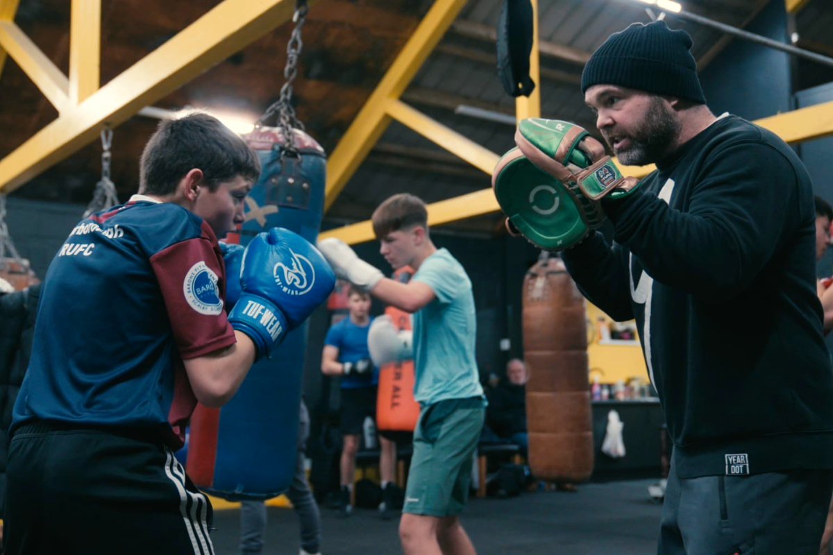 Eastfield Boxing Club Film to Get Scarborough Premiere
 Scarborough Athletic Stunned By Minnows in Senior Cup


Comments
Add a comment